MyTopo
Encampment Wyoming US Topo Map
Couldn't load pickup availability
Also explore the Encampment Forest Service Topo of this same quad for updated USFS data
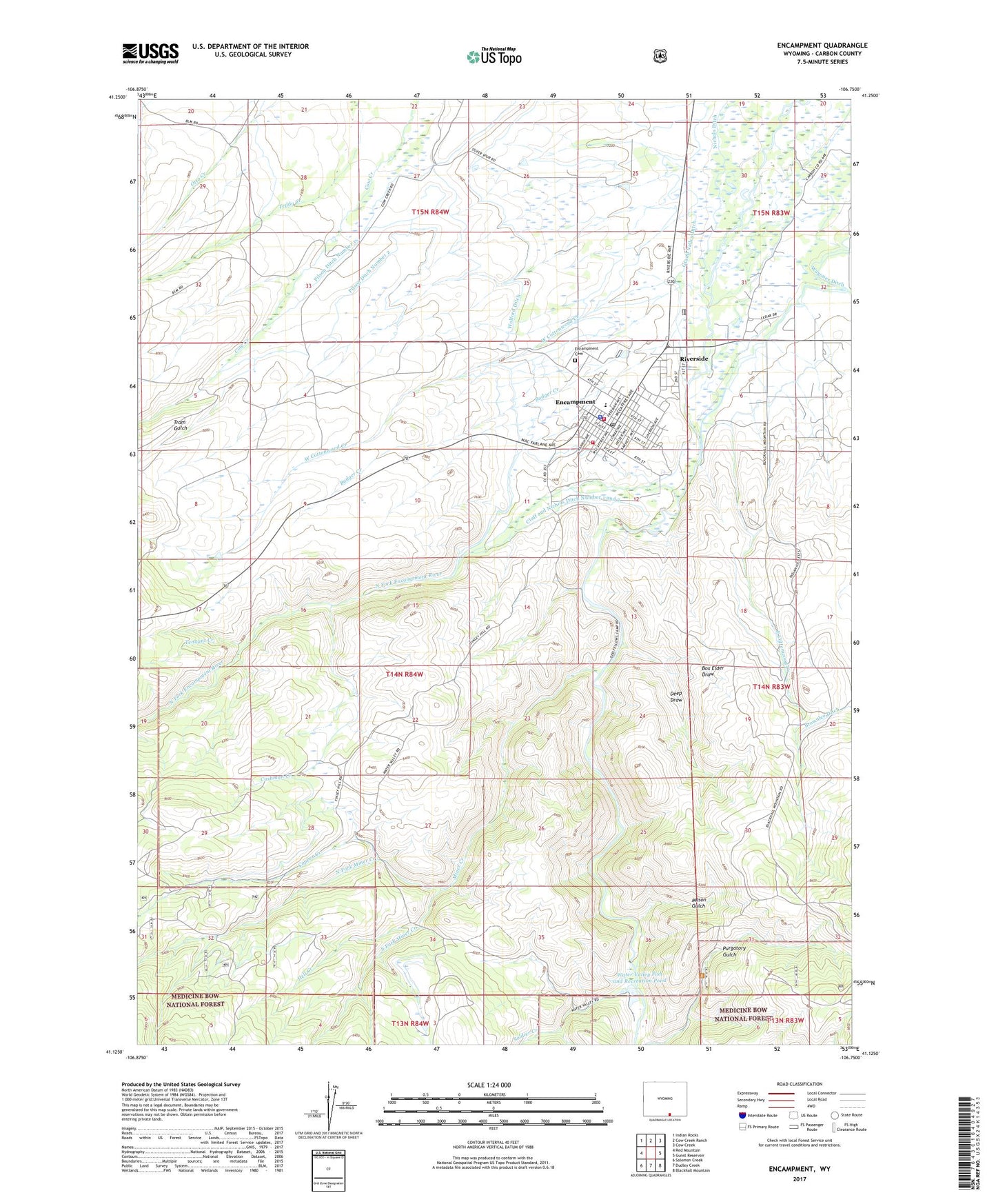
2021 topographic map quadrangle Encampment in the state of Wyoming. Scale: 1:24000. Based on the newly updated USGS 7.5' US Topo map series, this map is in the following counties: Carbon. The map contains contour data, water features, and other items you are used to seeing on USGS maps, but also has updated roads and other features. This is the next generation of topographic maps. Printed on high-quality waterproof paper with UV fade-resistant inks.
Quads adjacent to this one:
West: Red Mountain
Northwest: Indian Rocks
North: Cow Creek Ranch
Northeast: Cow Creek
East: Gunst Reservoir
Southeast: Blackhall Mountain
South: Dudley Creek
Southwest: Solomon Creek
This map covers the same area as the classic USGS quad with code o41106b7.
Contains the following named places: Badger Creek, Big Chief Number One Mine, Big Chief Number Two Mine, Box Elder Draw, Brownlee Ditch, Carlton Group Mine, Cluff and Nichols Ditch Number 1 and 2, Colorado Bell Group Mine, Copper Creek, Cushman Creek, Deep Draw, East Cottonwood Creek, Encampment, Encampment - Riverside Volunteer Fire Department, Encampment Area Mine, Encampment Cemetery, Encampment Ditch, Encampment High School, Encampment Junior High School, Encampment Police Department, Encampment Post Office, Encampment School, Finch Ranch, Grand Valley Ditch, Hayden Ranger Station, Hell Creek, Independent Order of Odd Fellows Camp, Mason Gulch, Medicine Bow National Forest Brush Creek - Hayden Ranger District Fire Engine Crew, Miner Creek, Moores Ranch, Nichols Ditch, North Fork Encampment River, North Fork Miner Creek, Oldman Ranch, Peryam Ranch, Pilson Ditch Number 1, Pilson Ditch Number 2, Pinyon Claims, Riverside, Sears Ditch, Soldier Creek, South Fork Miner Creek, Taylor Claims, Tennant Creek, Tennant Creek Area Mine, Toothacher Pit, Town of Encampment, Town of Riverside, Tram Gulch, Water Valley Fish and Recreation Pond, Water Valley Fish and Recreation Pond Dam, Water Valley Ranch, West Cottonwood Creek, Wirz Ranch, Wolford Ditch


