

Classic USGS Quads
(7.5' series)
These pre-2009, 1:24,000 scale, 7.5 minute maps are the standard for topographic mapping in the US and are widely considered the most detailed maps available. Nearly all navigation apps, software, and trail maps series, including the new US Topo Maps, are derived from these maps. Many outdoors people still prefer the classic quads due to the unmatched level of detail, accuracy, and symbology honed over a 100-year period by dedicated cartographers and surveyors employed by the US Government.
In 2009, the USGS began producing a digitized version of the maps, called the US Topo, in order to keep up with new road systems and development, but the "Classic" quads have a level of detail not yet achieved by the new versions and remain the preferred option for many topographic map users.
-
Classic USGS Island Minnesota 7.5'x7.5' Topo Map
Regular price $16.95Regular priceUnit price per
-
Classic USGS Island of Kosrae Federated States of Micronesia 7.5'x7.5' Topo Map
Regular price $16.95Regular priceUnit price per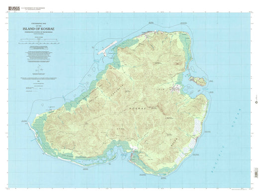
-
Classic USGS Island of Pohnpei (North Half) Federated States of Micronesia 7.5'x7.5' Topo Map
Regular price $16.95Regular priceUnit price per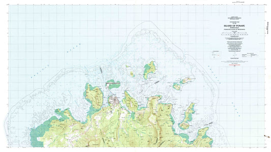
-
Classic USGS Island of Pohnpei (Northeast) Federated States of Micronesia 7.5'x7.5' Topo Map
Regular price $16.95Regular priceUnit price per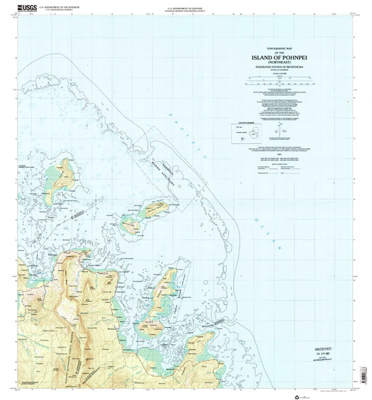
-
Classic USGS Island of Pohnpei (Northwest) Federated States of Micronesia 7.5'x7.5' Topo Map
Regular price $16.95Regular priceUnit price per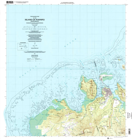
-
Classic USGS Island of Pohnpei (South Half) Federated States of Micronesia 7.5'x7.5' Topo Map
Regular price $16.95Regular priceUnit price per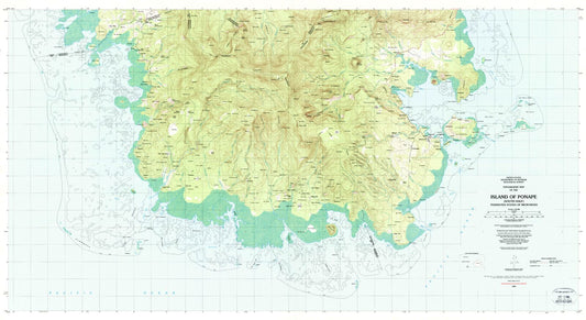
-
Classic USGS Island of Pohnpei (Southeast) Federated States of Micronesia 7.5'x7.5' Topo Map
Regular price $16.95Regular priceUnit price per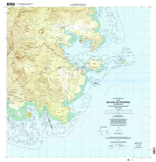
-
Classic USGS Island of Pohnpei (Southwest) Federated States of Micronesia 7.5'x7.5' Topo Map
Regular price $16.95Regular priceUnit price per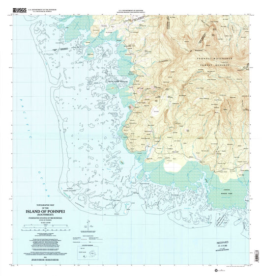
-
Classic USGS Island of Rota (Luta) Northern Mariana Islands 7.5'x7.5' Topo Map
Regular price $16.95Regular priceUnit price per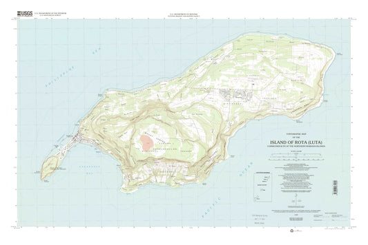
-
Classic USGS Island of Saipan Northern Mariana Islands 7.5'x7.5' Topo Map
Regular price $16.95Regular priceUnit price per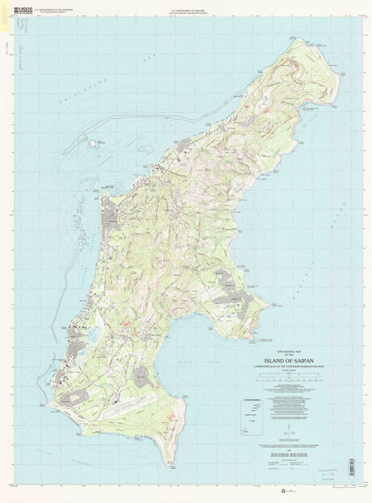
-
Classic USGS Island of Tinian Northern Mariana Islands 7.5'x7.5' Topo Map
Regular price $16.95Regular priceUnit price per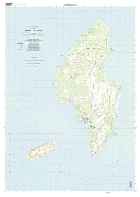
-
Classic USGS Island Park Dam Idaho 7.5'x7.5' Topo Map
Regular price $16.95Regular priceUnit price per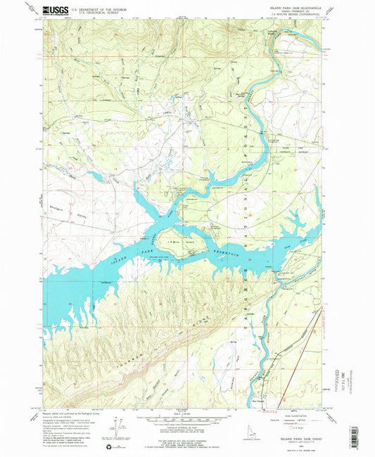
-
Classic USGS Island Park Idaho 7.5'x7.5' Topo Map
Regular price $16.95Regular priceUnit price per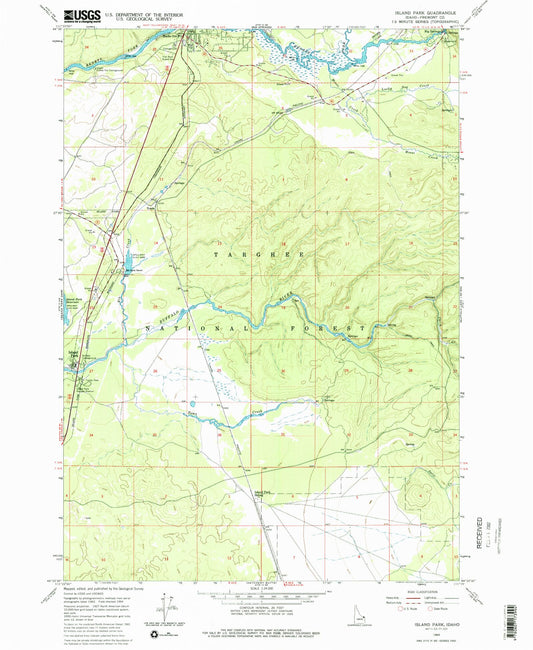
-
Classic USGS Island Park Utah 7.5'x7.5' Topo Map
Regular price $16.95Regular priceUnit price per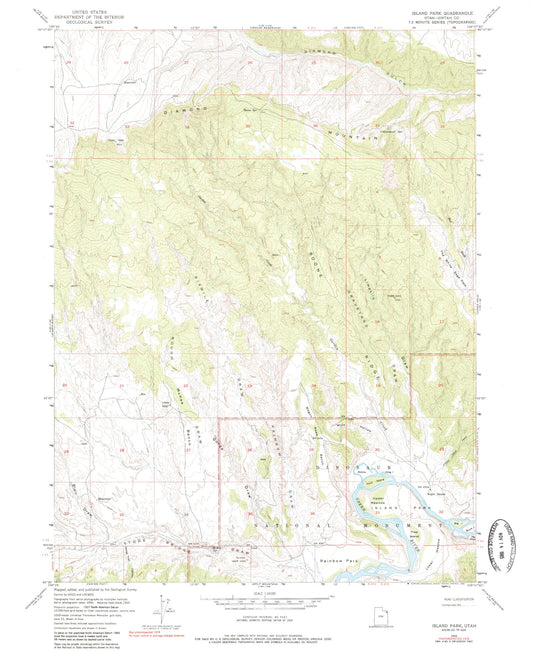
-
Classic USGS Island Pond Maine 7.5'x7.5' Topo Map
Regular price $16.95Regular priceUnit price per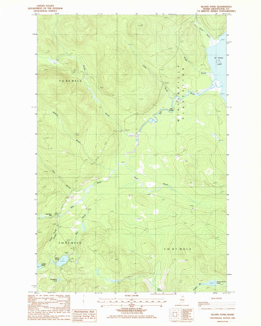
-
Classic USGS Island Pond Vermont 7.5'x7.5' Topo Map
Regular price $16.95Regular priceUnit price per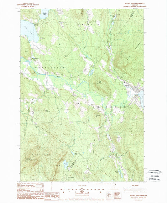
-
Classic USGS Island View Minnesota 7.5'x7.5' Topo Map
Regular price $16.95Regular priceUnit price per
-
Classic USGS Islandton South Carolina 7.5'x7.5' Topo Map
Regular price $16.95Regular priceUnit price per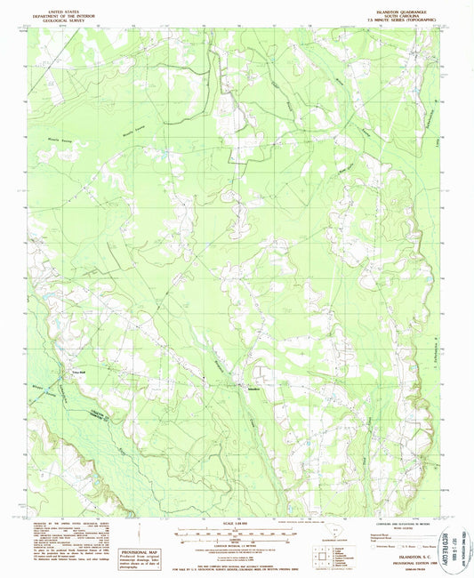
-
Classic USGS Islay Wyoming 7.5'x7.5' Topo Map
Regular price $16.95Regular priceUnit price per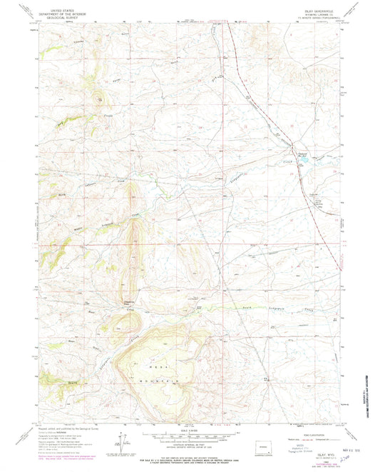
-
Classic USGS Isle Au Haut East Maine 7.5'x7.5' Topo Map
Regular price $16.95Regular priceUnit price per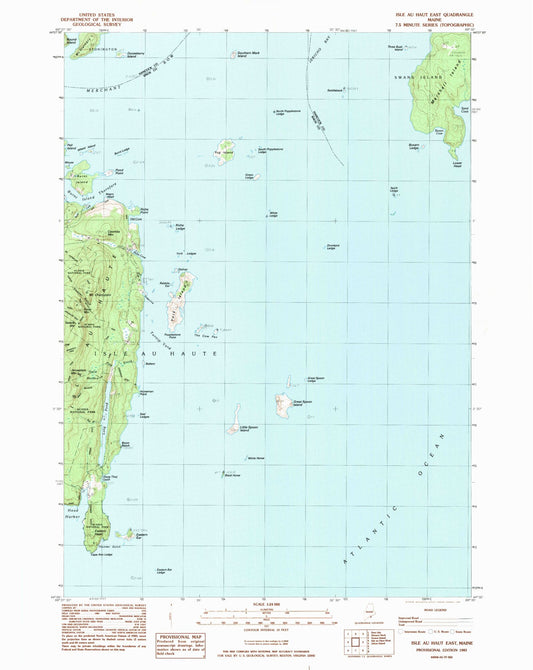
-
Classic USGS Isle Au Haut West Maine 7.5'x7.5' Topo Map
Regular price $16.95Regular priceUnit price per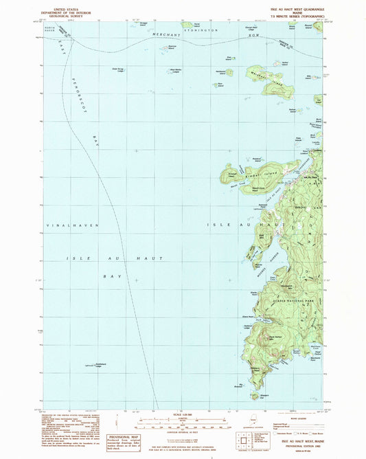
-
Classic USGS Isle au Pitre Louisiana 7.5'x7.5' Topo Map
Regular price $16.95Regular priceUnit price per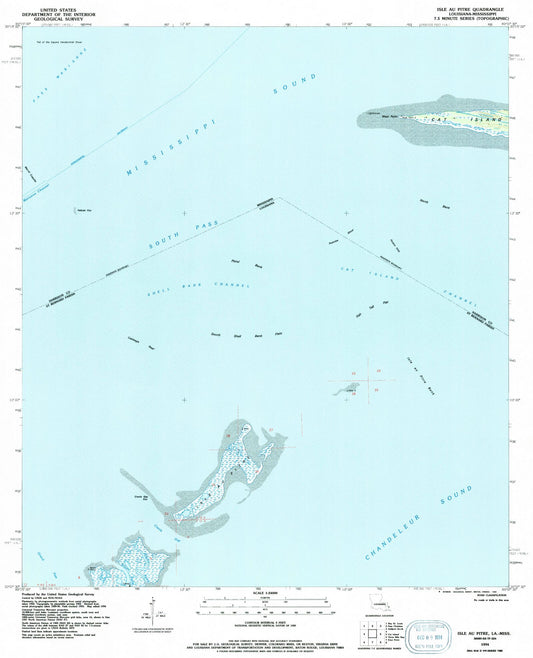
-
Classic USGS Isle aux Herbes Alabama 7.5'x7.5' Topo Map
Regular price $16.95Regular priceUnit price per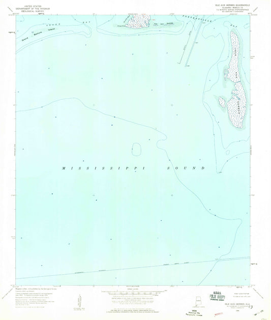
-
Classic USGS Isle Minnesota 7.5'x7.5' Topo Map
Regular price $16.95Regular priceUnit price per


Custom Maps Available
Need something special?
Find your map's location and then customize a map (or photo) to your exact specifications.
USGS Map Legend
Want the "key" to understanding your topographic map?
Check out this handy publication from the USGS.