MyTopo
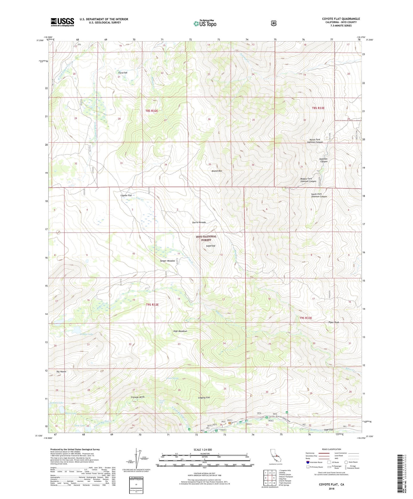
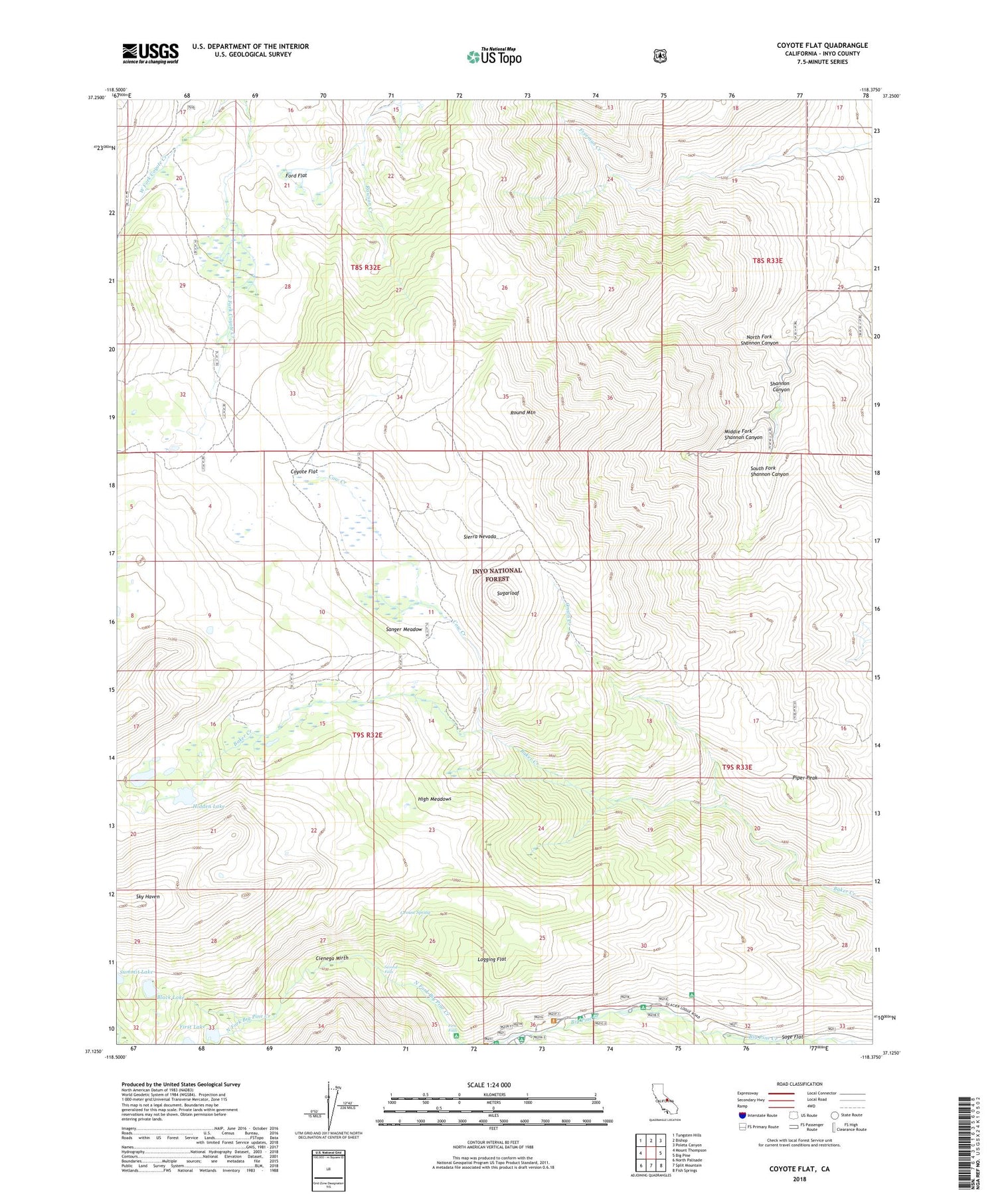
Coyote Flat California US Topo Map
Couldn't load pickup availability
Also explore the Coyote Flat Forest Service Topo of this same quad for updated USFS data
2021 topographic map quadrangle Coyote Flat in the state of California. Scale: 1:24000. Based on the newly updated USGS 7.5' US Topo map series, this map is in the following counties: Inyo. The map contains contour data, water features, and other items you are used to seeing on USGS maps, but also has updated roads and other features. This is the next generation of topographic maps. Printed on high-quality waterproof paper with UV fade-resistant inks.
Quads adjacent to this one:
West: Mount Thompson
Northwest: Tungsten Hills
North: Bishop
Northeast: Poleta Canyon
East: Big Pine
Southeast: Fish Springs
South: Split Mountain
Southwest: North Palisade
This map covers the same area as the classic USGS quad with code o37118b4.
Contains the following named places: Big Pine Campground, Big Pine Creek Picnic Site, Big Pine Lake, Black Lake, Buckshot Prospect, Cienega Mirth, Cow Creek, Coyote Flat, Coyote Flats Airport, First Falls, First Falls Campground, First Lake, Ford Flat, Glacier Lodge, Glacier Pack Station, Grouse Spring, Hidden Lake, High Meadows, Kings River Trail, Logging Flat, Marble Tungsten Mine, Middle Fork Shannon Canyon, North Fork Big Pine Creek Trailhead, North Fork Shannon Canyon, Onion Creek, Piper Peak, Round Mountain, Sage Flat, Sage Flat Campground, Sanger Meadow, Second Falls, Second Falls Campground, South Fork Shannon Canyon, Sugarloaf, Summit Lake, Upper Sage Flat Campground