MyTopo
Paris Peak Idaho US Topo Map
Couldn't load pickup availability
Also explore the Paris Peak Forest Service Topo of this same quad for updated USFS data
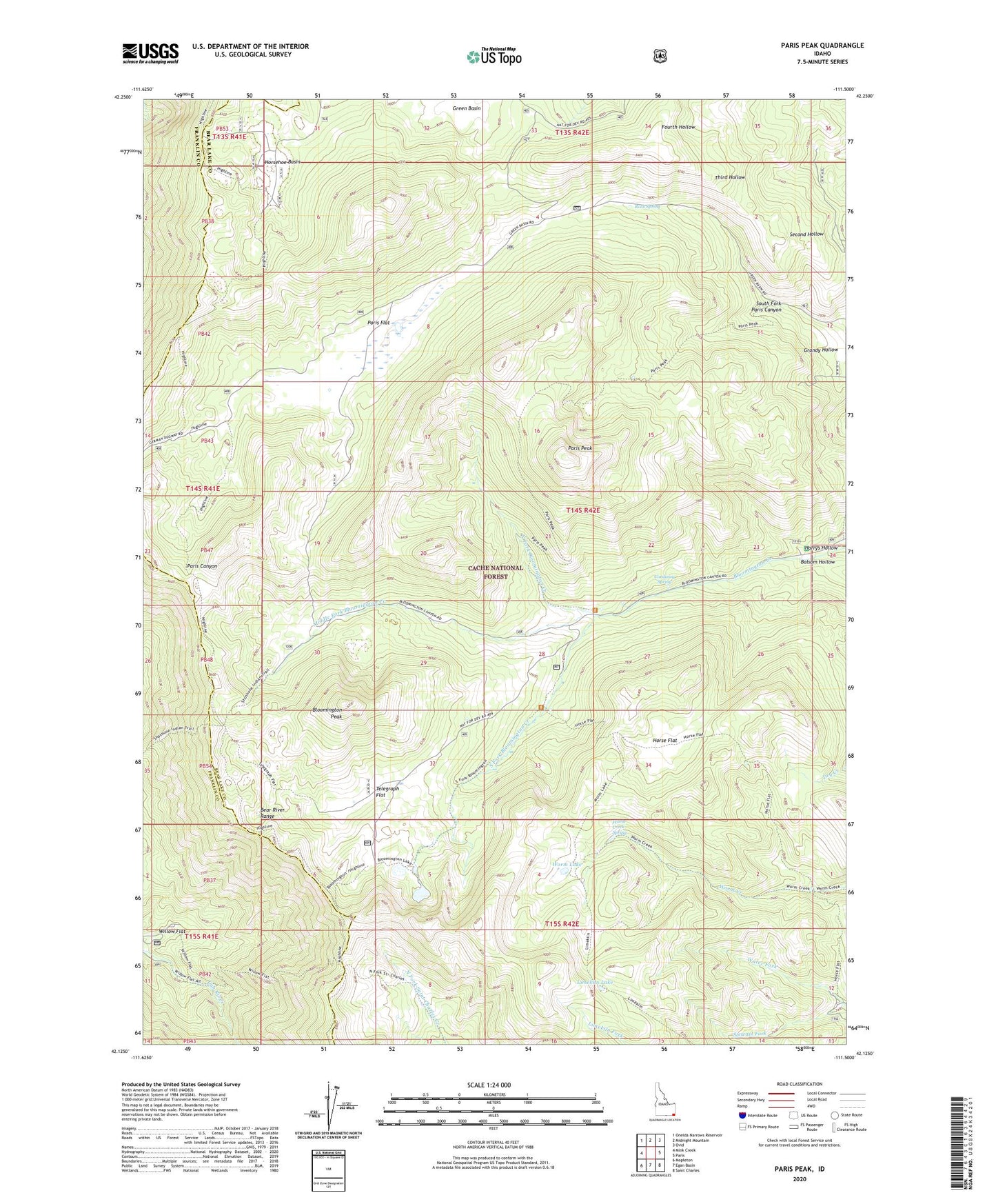
2023 topographic map quadrangle Paris Peak in the state of Idaho. Scale: 1:24000. Based on the newly updated USGS 7.5' US Topo map series, this map is in the following counties: Bear Lake, Franklin. The map contains contour data, water features, and other items you are used to seeing on USGS maps, but also has updated roads and other features. This is the next generation of topographic maps. Printed on high-quality waterproof paper with UV fade-resistant inks.
Quads adjacent to this one:
West: Mink Creek
Northwest: Oneida Narrows Reservoir
North: Midnight Mountain
Northeast: Ovid
East: Paris
Southeast: Saint Charles
South: Egan Basin
Southwest: Mapleton
This map covers the same area as the classic USGS quad with code o42111b5.
Contains the following named places: Balsam Hollow, Bloomington Lake, Bloomington Lake Trail, Bloomington Peak, Corduroy Spring, Grandy Hollow, Harrys Hollow, High Line Trail, Horse Flat, Horsehoe Basin, Limekiln Lake, Middle Fork Bloomington Creek, Midland Trail, North Fork Bloomington Creek, Paris Flat, Paris Peak, Rock Spring, South Fork Bloomington Creek, South Fork Paris Canyon, Stewart Fork, Telegraph Flat, Water Fork, Willow Flat, Worm Creek Spring, Worm Lake, ZIP Code: 83272