MyTopo
Raymond NE Illinois US Topo Map
Couldn't load pickup availability
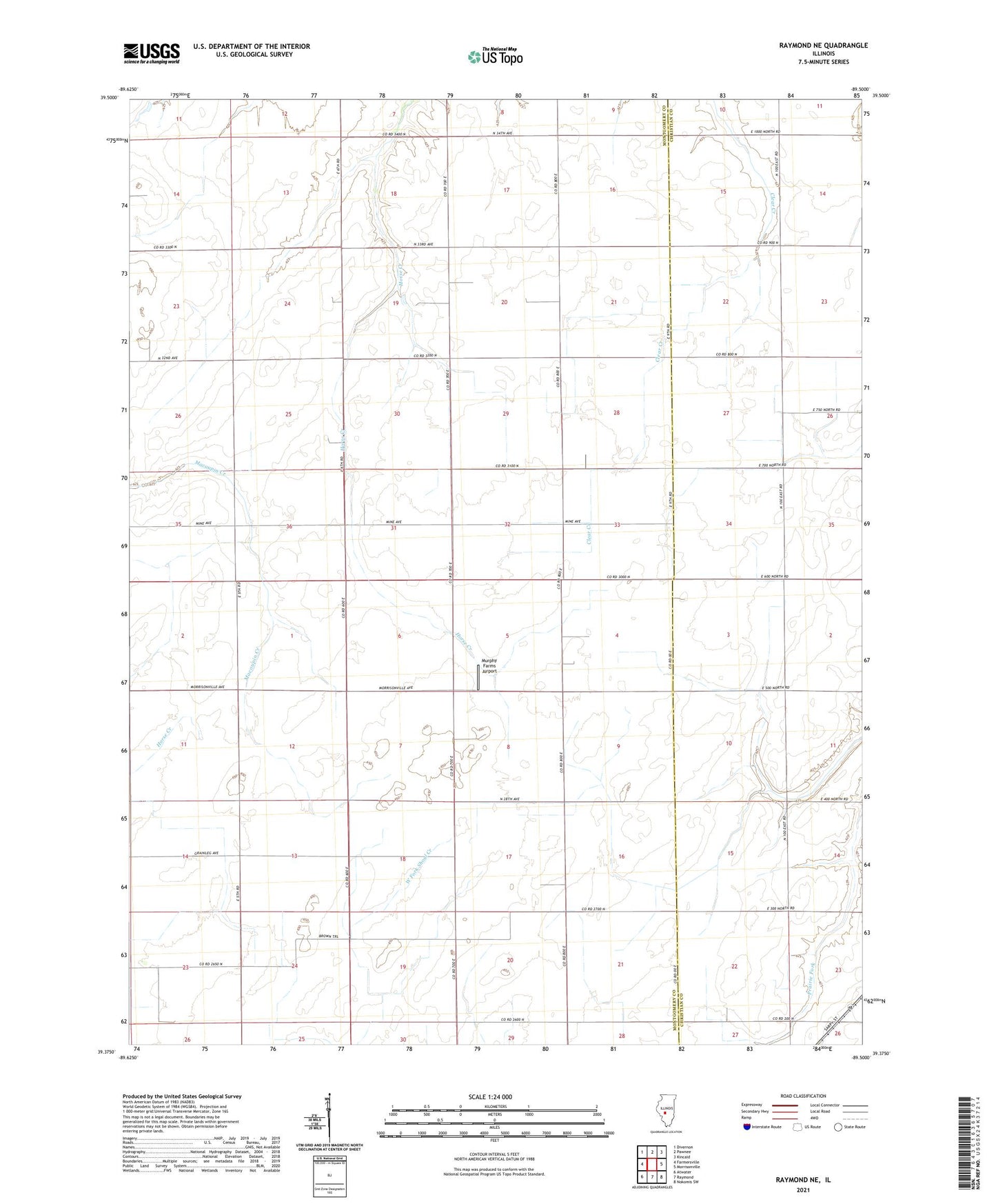
2024 topographic map quadrangle Raymond NE in the state of Illinois. Scale: 1:24000. Based on the newly updated USGS 7.5' US Topo map series, this map is in the following counties: Montgomery, Christian. The map contains contour data, water features, and other items you are used to seeing on USGS maps, but also has updated roads and other features. This is the next generation of topographic maps. Printed on high-quality waterproof paper with UV fade-resistant inks.
Quads adjacent to this one:
West: Farmersville
Northwest: Divernon
North: Pawnee
Northeast: Kincaid
East: Morrisonville
Southeast: Nokomis SW
South: Raymond
Southwest: Atwater
This map covers the same area as the classic USGS quad with code o39089d5.
Contains the following named places: D'Arcy School, Evergreen School, Fairhope School, Fireland School, King School, Lone Elm School, Mount Vernon School, Murphy Farms Airport, Prairie Union School, Seitz Landing Strip, Star Union School, Township of Bois d'Arc, Township of Harvel, Township of King, ZIP Code: 62533