MyTopo
Nappanee East Indiana US Topo Map
Couldn't load pickup availability
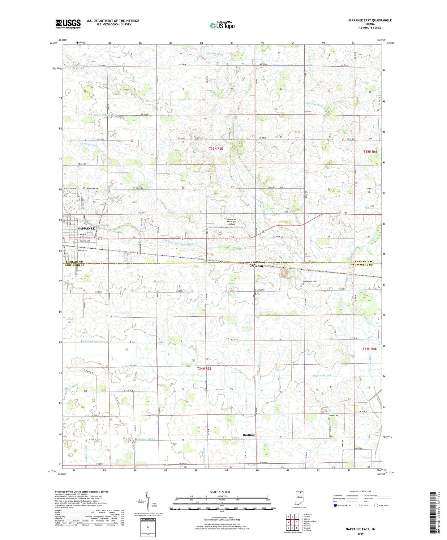
2022 topographic map quadrangle Nappanee East in the state of Indiana. Scale: 1:24000. Based on the newly updated USGS 7.5' US Topo map series, this map is in the following counties: Kosciusko, Elkhart. The map contains contour data, water features, and other items you are used to seeing on USGS maps, but also has updated roads and other features. This is the next generation of topographic maps. Printed on high-quality waterproof paper with UV fade-resistant inks.
Quads adjacent to this one:
West: Nappanee West
Northwest: Wakarusa
North: Foraker
Northeast: Goshen
East: Milford
Southeast: Leesburg
South: Atwood
Southwest: Bourbon
This map covers the same area as the classic USGS quad with code o41085d8.
Contains the following named places: Berlin Court Grand Ditch, Bethel Church, Biller Ditch, Brumbaugh Cemetery, Calvary Baptist Church, City of Nappanee, Corner View Farm, Darkwood Ditch, Dausman Ditch, Davisson Ditch, East Side School, Fuller Arm, Graham Ditch, Gravelton, Hastings, Haverstick Ditch, Hill Top Duck Farm, Island Cemetery, Island Chapel, Kinney Ditch, Nappanee Church of the Brethren, Nappanee Municipal Airport, Nappanee Post Office, Omar Neff Ditch, Providence Church, Reed Farms, Rummel Farms, Salem Church, Sheets Farm, Stauffer Park, Township of Jefferson, Township of Union, Tri - County Ambulance Service, Union Center Church, Union Center Elementary School, Union Grove Church, Wagner Ditch, Wilhelm-Kurtz Ditch, Wisler Church, Wisler Ditch