MyTopo
Grindstone Creek Kansas US Topo Map
Couldn't load pickup availability
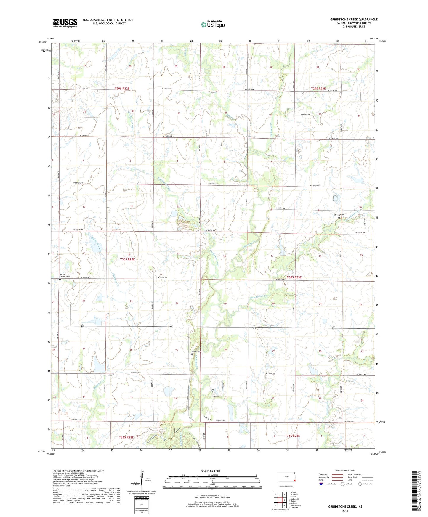
2022 topographic map quadrangle Grindstone Creek in the state of Kansas. Scale: 1:24000. Based on the newly updated USGS 7.5' US Topo map series, this map is in the following counties: Crawford. The map contains contour data, water features, and other items you are used to seeing on USGS maps, but also has updated roads and other features. This is the next generation of topographic maps. Printed on high-quality waterproof paper with UV fade-resistant inks.
Quads adjacent to this one:
West: McCune NE
Northwest: Walnut
North: Brazilton
Northeast: Girard
East: Radley
Southeast: Cherokee
South: West Mineral
Southwest: McCune
This map covers the same area as the classic USGS quad with code o37094d8.
Contains the following named places: Cook School, Cyclone School, Elm Creek, Freed School, Gregg School, Grindstone Creek, King School, Lebanon Church, Limestone School, Meyers Cemetery, Meyers School, Mount Carmel, Mount Carmel Cemetery, Mount Carmel School, Osage Brethern Cemetery, Osage Church, Osage Church of the Brethren, Osage School, Pleasant Valley School, Round Prairie Church, Round Prairie School, Silter School, Thunderbolt Creek