MyTopo
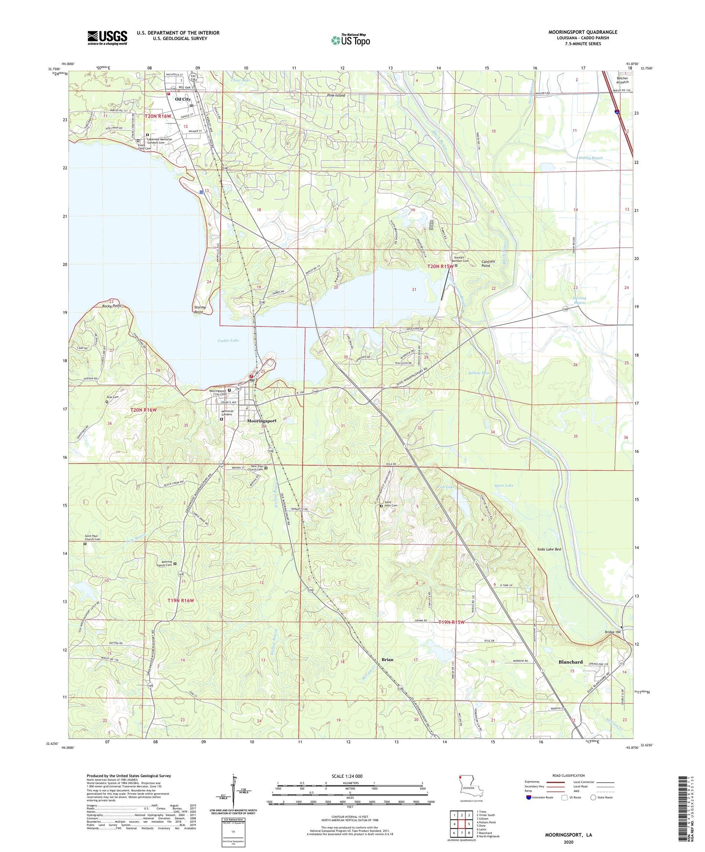
Mooringsport Louisiana US Topo Map
Couldn't load pickup availability
2024 topographic map quadrangle Mooringsport in the state of Louisiana. Scale: 1:24000. Based on the newly updated USGS 7.5' US Topo map series, this map is in the following counties: Caddo. The map contains contour data, water features, and other items you are used to seeing on USGS maps, but also has updated roads and other features. This is the next generation of topographic maps. Printed on high-quality waterproof paper with UV fade-resistant inks.
Quads adjacent to this one:
West: Potters Point
Northwest: Trees
North: Vivian South
Northeast: Gilliam
East: Dixie
Southeast: North Highlands
South: Blanchard
Southwest: Latex
This map covers the same area as the classic USGS quad with code o32093f8.
Contains the following named places: Arlatex, Baptist Temple, Black Bayou, Brian, Bridge 184, Caddo Dam, Caddo Parish Fire District 7 Station 1, Caddo Parish Sheriff's Office, Canfiels Point, Clear Lake, Cottonwood Bayou, Crooked Bayou, Egan Lake, First Baptist Church, Fish Lake, Fish Lake Dam, KDAQ-FM (Shreveport), KITT-FM (Shreveport), KLTS-TV (Shreveport), KRMD-FM (Shreveport), KSLA-TV (Shreveport), KTBS-TV (Shreveport), KWKH-AM (Shreveport), KWKH-FM (Shreveport), Lake Zion Church, Longwood Lookout Tower, Mooringsport, Mooringsport Baptist Church, Mooringsport Elementary School, Mooringsport Post Office, Mooringsport United Methodist Church, Myricks Bayou, Oil City, Oil City Elementary Magnet School, Rocky Point, Saint Johns Church, Saint Paul Baptist Church, Saint Paul School, Shiftail Canal, Shift-Tail Lake, Soda Lake Bed, Soda Lake State Wildlife Management Area, Sterling Bayou, Stormy Point, Stumpy Bayou, Swift Bayou, Town of Mooringsport, Town of Oil City, Walnut Bayou, Willow Pass, ZIP Code: 71060


