MyTopo
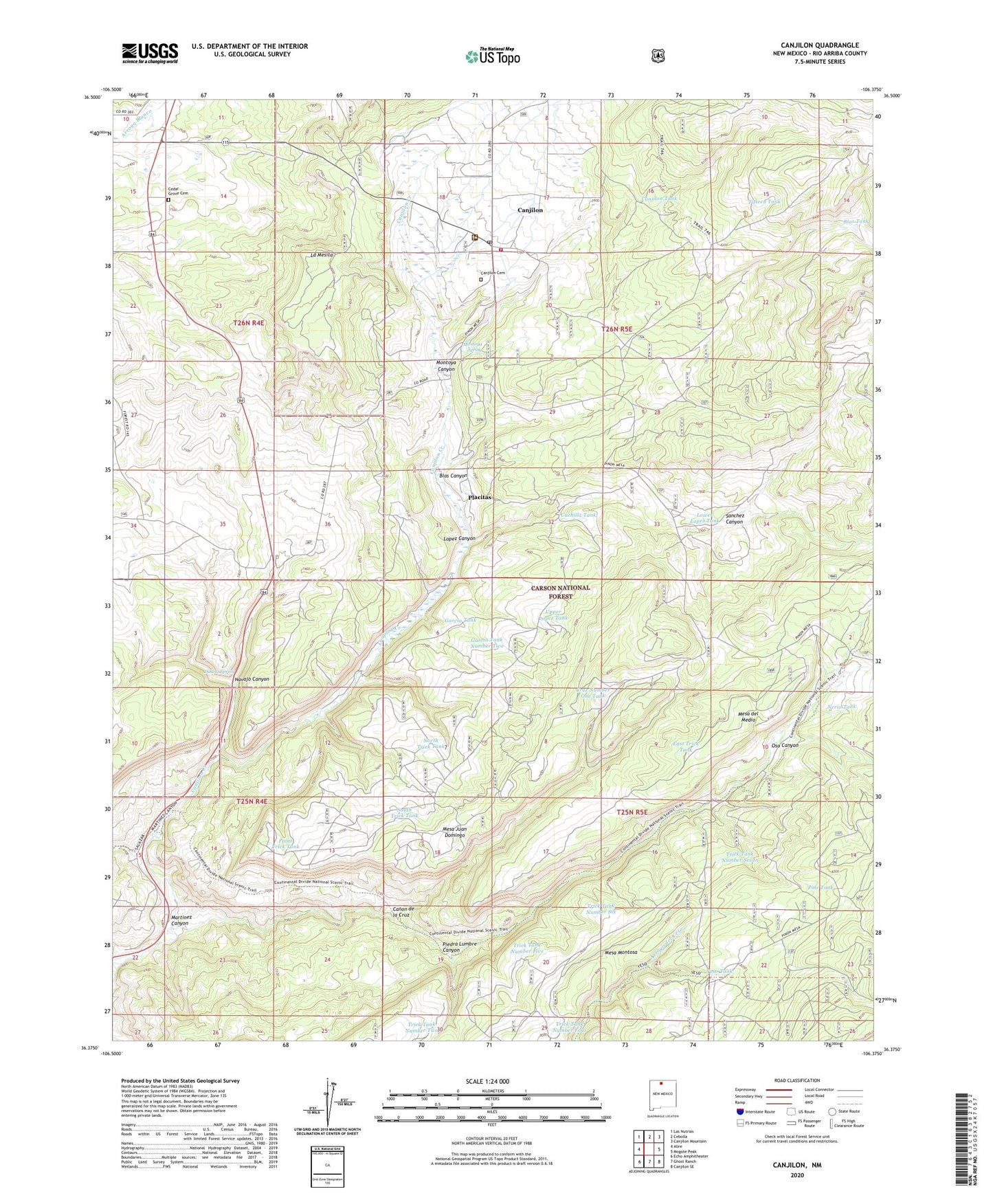
Canjilon New Mexico US Topo Map
Couldn't load pickup availability
Also explore the Canjilon Forest Service Topo of this same quad for updated USFS data
2023 topographic map quadrangle Canjilon in the state of New Mexico. Scale: 1:24000. Based on the newly updated USGS 7.5' US Topo map series, this map is in the following counties: Rio Arriba. The map contains contour data, water features, and other items you are used to seeing on USGS maps, but also has updated roads and other features. This is the next generation of topographic maps. Printed on high-quality waterproof paper with UV fade-resistant inks.
Quads adjacent to this one:
West: Alire
Northwest: Las Nutrias
North: Cebolla
Northeast: Canjilon Mountain
East: Mogote Peak
Southeast: Canjilon SE
South: Ghost Ranch
Southwest: Echo Amphitheater
This map covers the same area as the classic USGS quad with code o36106d4.
Contains the following named places: Blas Canyon, Blas Tank, Canjillon Ranger District, Canjilon, Canjilon - Cebolla Volunteer Fire Department Main Station, Canjilon Cemetery, Canjilon Census Designated Place, Canjilon District Ranger Office, Canjilon Elementary School, Canjilon Mountain Lookout Cabin Historic Site, Canjilon Post Office, Canjilon Ranger District, Canjilon Weather Station, Canon de la Cruz, Cedar Grove Cemetery, Conjilon Tank, Cruz Number One Tank, Cuchilla Tank, Dakota Spring, East Trick Tank, Fifteen Tank, Garcia Tank, Garcia Tank Number Two, La Mesita, Las Jollas, Llanito de la Cruz, Lopez Canyon, Lower Lopez Tank, Martinez Canyon, Mesa del Medio, Mesa Juan Domingo, Mesa Montosa, Montoya Canyon, Montoya Spring, Navajo Canyon, Nerio Canyon, Nerio Tank, North Trick Tank, Oso Canyon, Piedra Lumbre Canyon, Pine Tank, Placitas, Point Trick Tank, Sanchez Canyon, South Trick Tank, Trick Tank Number Five, Trick Tank Number Four, Trick Tank Number Seven, Trick Tank Number Six, Trick Tank Number Two, Upper Lopez Tank, West Trick Tank, Yeso Tank, ZIP Code: 87515


