MyTopo
Echo Amphitheater New Mexico US Topo Map
Couldn't load pickup availability
Also explore the Echo Amphitheater Forest Service Topo of this same quad for updated USFS data
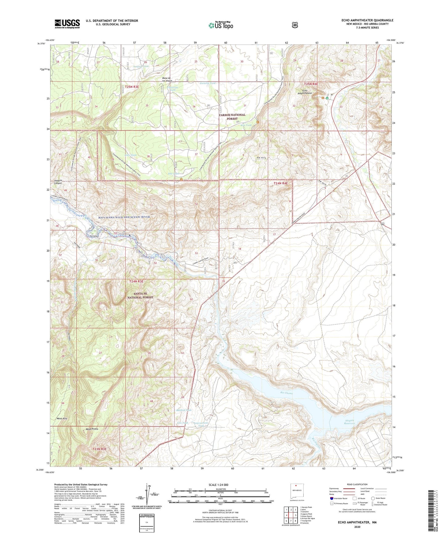
2023 topographic map quadrangle Echo Amphitheater in the state of New Mexico. Scale: 1:24000. Based on the newly updated USGS 7.5' US Topo map series, this map is in the following counties: Rio Arriba. The map contains contour data, water features, and other items you are used to seeing on USGS maps, but also has updated roads and other features. This is the next generation of topographic maps. Printed on high-quality waterproof paper with UV fade-resistant inks.
Quads adjacent to this one:
West: Laguna Peak
Northwest: Navajo Peak
North: Alire
Northeast: Canjilon
East: Ghost Ranch
Southeast: Canones
South: Youngsville
Southwest: Arroyo Del Agua
This map covers the same area as the classic USGS quad with code o36106c5.
Contains the following named places: Alex, Canada del Potrero, Chama Canyon, Claverine Tank, Echo Amphitheater, Echo Campground, Frenchy Tank, Gato Tank, Ghost Ranch, Intermittent Tank, Joaquin Canyon, Joaquin Tank, Llano Del Vado, Madrid Tank, Mesa Prieta, One Tank, Rim Tank, Rim Vista, Rio Puerco, Vito Tank