MyTopo
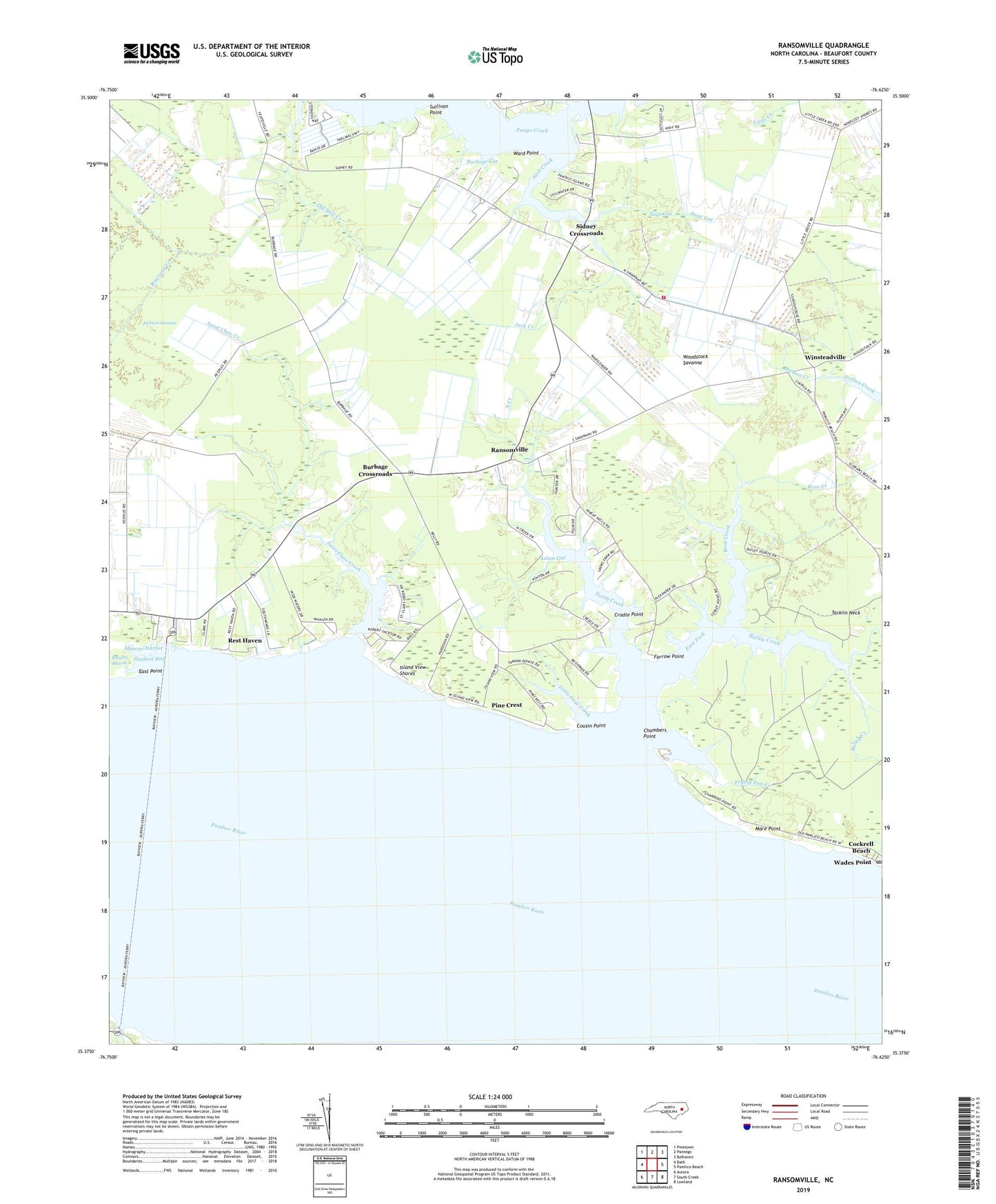
Ransomville North Carolina US Topo Map
Couldn't load pickup availability
2022 topographic map quadrangle Ransomville in the state of North Carolina. Scale: 1:24000. Based on the newly updated USGS 7.5' US Topo map series, this map is in the following counties: Beaufort. The map contains contour data, water features, and other items you are used to seeing on USGS maps, but also has updated roads and other features. This is the next generation of topographic maps. Printed on high-quality waterproof paper with UV fade-resistant inks.
Quads adjacent to this one:
West: Bath
Northwest: Pinetown
North: Pantego
Northeast: Belhaven
East: Pamlico Beach
Southeast: Lowland
South: South Creek
Southwest: Aurora
This map covers the same area as the classic USGS quad with code o35076d6.
Contains the following named places: Ashon Gut, Bailey Creek, Banjo Fork, Bath Community Rescue Squad, Bethany Church, Burbage Crossroads, Burbage Gut, Chambers Point, Cockrell Beach, Cousin Point, Cradle Point, East Fork, East Point, Farrow Point, Frying Pan Creek, Garrett Gut, Gaylord, Gaylord Bay, Holly Grove Church, Island View Shores, Jack Creek, Jackson Swamp, Little Ease Creek, Mare Point, Masons Harbor, North Creek, North Creek Church, Oak Grove Church, Pine Crest, Ransomville, Rest Haven, Ross Creek, Sage Gut, Saint Clair Church, Saint Clair Creek, Sandy Landing, Sidney Crossroads, Sidney Volunteer Fire Department, Spring Green Church, Sullivan Point, Township of Bath, Wades Point, Wades Point Post Office, Ward Point, Winsteadville, WKJA-FM (Belhaven), Woodstock Savanna


