MyTopo
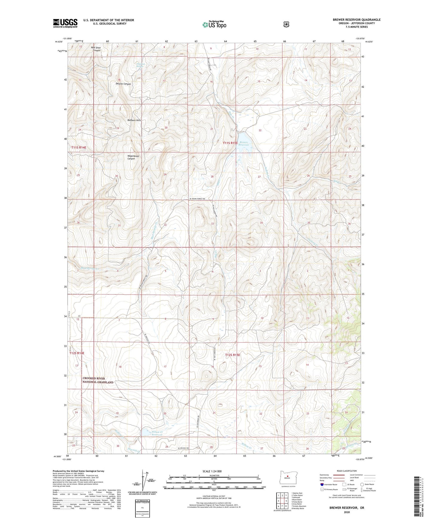
Brewer Reservoir Oregon US Topo Map
Couldn't load pickup availability
Also explore the Brewer Reservoir Forest Service Topo of this same quad for updated USFS data
2024 topographic map quadrangle Brewer Reservoir in the state of Oregon. Scale: 1:24000. Based on the newly updated USGS 7.5' US Topo map series, this map is in the following counties: Jefferson. The map contains contour data, water features, and other items you are used to seeing on USGS maps, but also has updated roads and other features. This is the next generation of topographic maps. Printed on high-quality waterproof paper with UV fade-resistant inks.
Quads adjacent to this one:
West: Buck Butte
Northwest: Madras East
North: Teller Butte
Northeast: Ashwood
East: Foley Butte
Southeast: Hensley Butte
South: Grizzly Mountain
Southwest: Gray Butte
This map covers the same area as the classic USGS quad with code o44120e8.
Contains the following named places: Anderson Springs, Awbrey Creek, Baldwin Hills, Brewer Dam, Brewer Reservoir, Cleek Post Office, Coon Creek, Hay Creek Ranch, Jim Creek, Morrow Brothers Dam, Morrow Ranch, Morrow Well, Newbill Creek, Willoughby Post Office, Willow Creek Reservoir