MyTopo
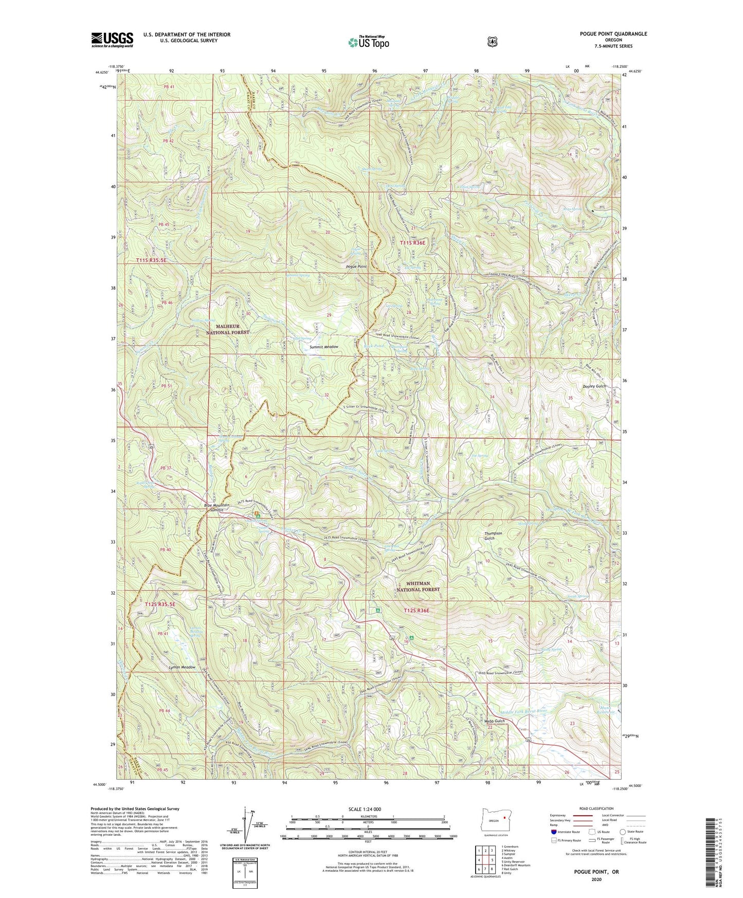
Pogue Point Oregon US Topo Map
Couldn't load pickup availability
Also explore the Pogue Point Forest Service Topo of this same quad for updated USFS data
2024 topographic map quadrangle Pogue Point in the state of Oregon. Scale: 1:24000. Based on the newly updated USGS 7.5' US Topo map series, this map is in the following counties: Baker, Grant. The map contains contour data, water features, and other items you are used to seeing on USGS maps, but also has updated roads and other features. This is the next generation of topographic maps. Printed on high-quality waterproof paper with UV fade-resistant inks.
Quads adjacent to this one:
West: Austin
Northwest: Greenhorn
North: Whitney
Northeast: Sumpter
East: Unity Reservoir
Southeast: Unity
South: Rail Gulch
Southwest: Deardorff Mountain
This map covers the same area as the classic USGS quad with code o44118e3.
Contains the following named places: Blue Mountain Summit, Busby Spring, Cold Spring, Crusher Spring, Dead End Spring, Dons Spring, Elk Spring, Elliot Spring, Fourth Creek, Fourth Creek Camp, Horse Spring, Joe Spring, Lee Spring, Lew Spring, Little Spring, Low Pass Spring, Lyman Meadow, Lyman Meadow Spring, Middle Sister Creek, Morg Spring, Mosquito Spring, Munn Dam, Munn Reservoir, North Fork Summit Creek, North Sister Creek, Oregon Recreation Site, Petticoat Creek, Pogue Point, Pogue Spring, Road Creek, Road Creek Spring, Rock Pond, Rock Spring, Roys Spring, Sheep Spring, Sherman Creek, Skunk Cabbage Spring, Smith Spring, South Sister Creek, Starveout Spring, Summit Meadow, Summit Spring, Thompson Spring, Wallow Spring, Webb Gulch, Wetmore Recreation Site, Wiggler Spring, Yellow Pine Recreation Site