MyTopo
Six Corners Oregon US Topo Map
Couldn't load pickup availability
Also explore the Six Corners Forest Service Topo of this same quad for updated USFS data
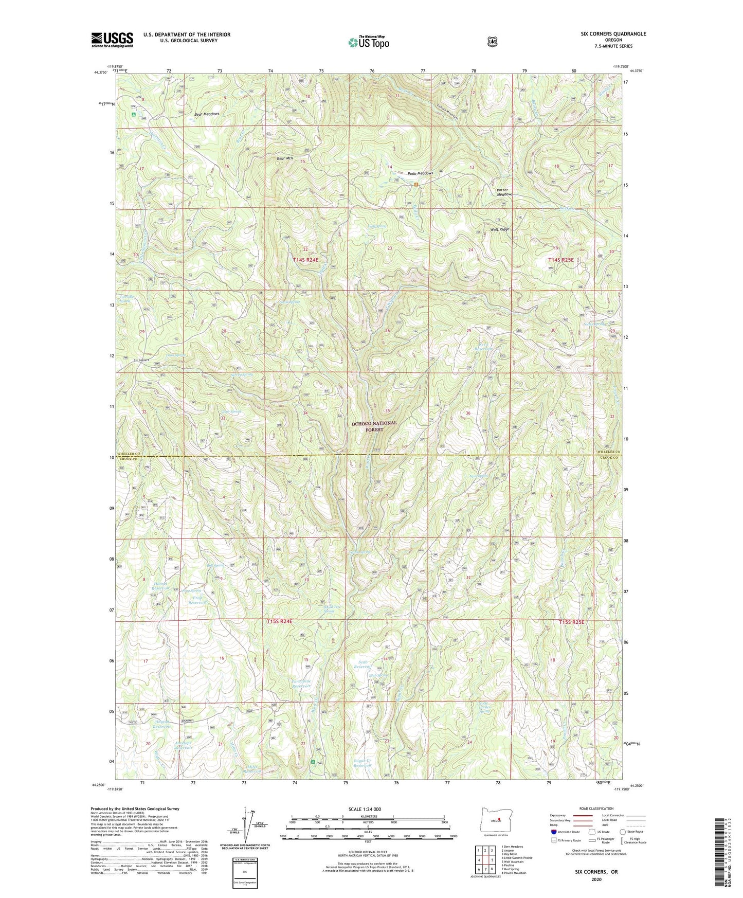
2023 topographic map quadrangle Six Corners in the state of Oregon. Scale: 1:24000. Based on the newly updated USGS 7.5' US Topo map series, this map is in the following counties: Wheeler, Crook. The map contains contour data, water features, and other items you are used to seeing on USGS maps, but also has updated roads and other features. This is the next generation of topographic maps. Printed on high-quality waterproof paper with UV fade-resistant inks.
Quads adjacent to this one:
West: Little Summit Prairie
Northwest: Derr Meadows
North: Antone
Northeast: Day Basin
East: Wolf Mountain
Southeast: Powell Mountain
South: Mud Spring
Southwest: Paulina
This map covers the same area as the classic USGS quad with code o44119c7.
Contains the following named places: Antelope Reservoir, Aqua Spring, Baldy Creek, Bear Meadows, Bear Mountain, Board Tree Spring, Bull Spring, Clayton Reservoir, Clear Spring, Connally Spring, Dean Spring, East Wolf Creek, Frog Reservoir, Frog Spring, Grass Spring, Hornet Reservoir, Little Windy Creek, Mascall Trail, Miles Reservoir, Nichol Spring, Noble Garden Spring, Podo Creek, Podo Meadows, Porcupine Reservoir, Potter Meadows, Reed Reservoir, Scab Reservoir, Scab Spring, Six Corners, Sugar Creek Reservoir, Survey Spring, Windy Creek, Wolf Creek Recreation Site, Wolf Ridge, Wolf Spring, Yu-ma Spring