MyTopo
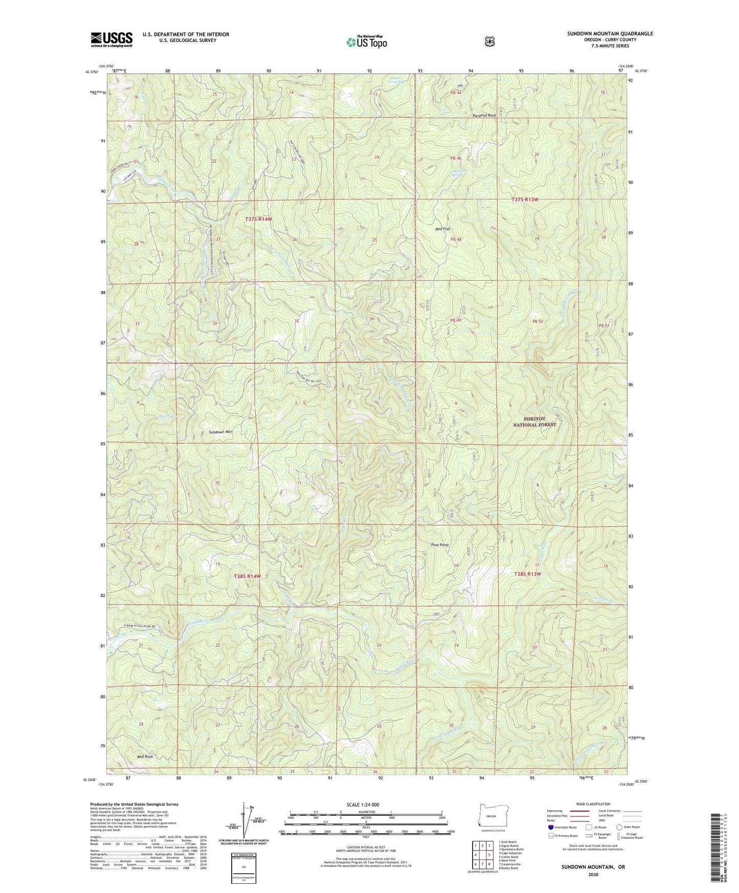
Sundown Mountain Oregon US Topo Map
Couldn't load pickup availability
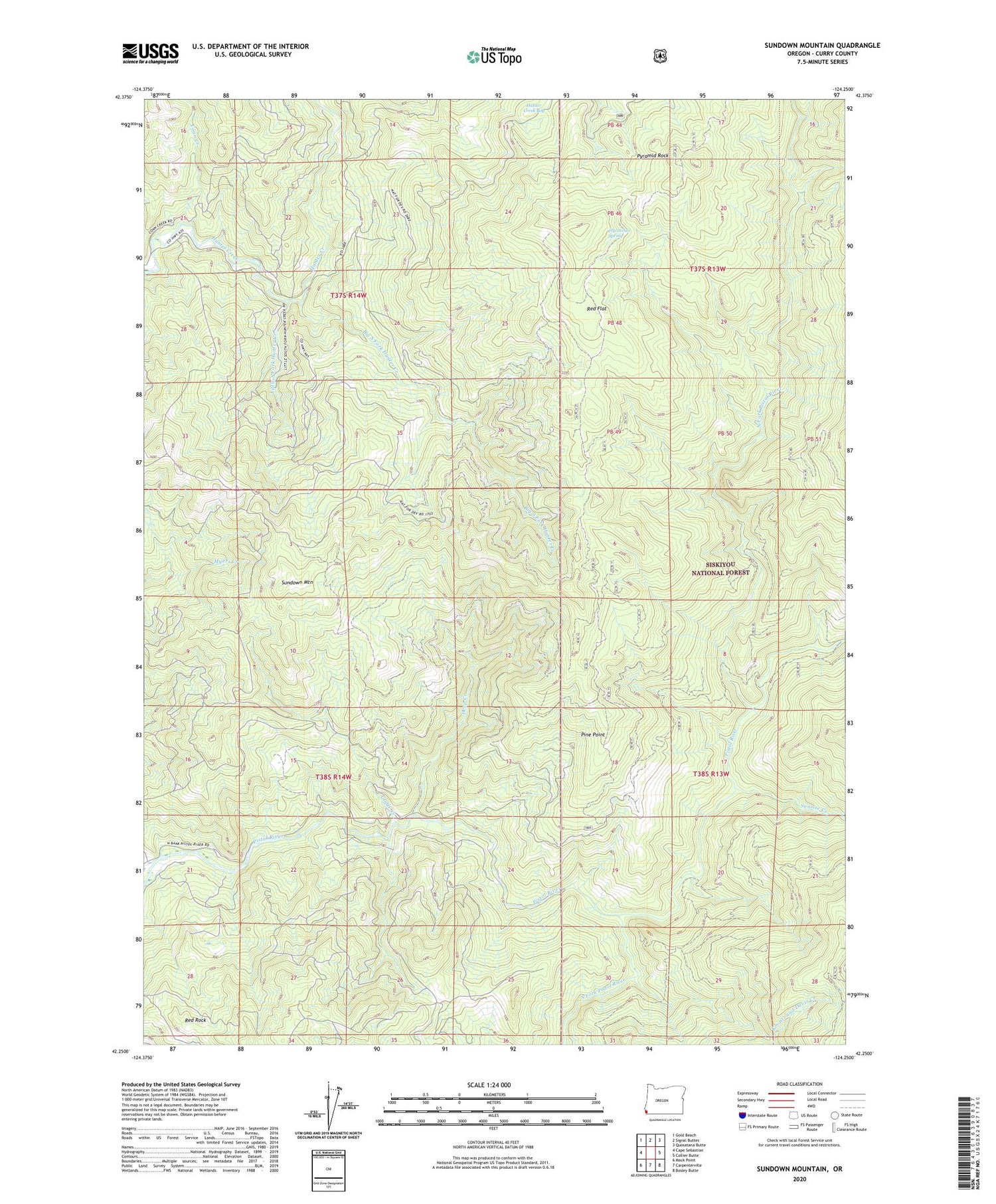
Also explore the Sundown Mountain Forest Service Topo of this same quad for updated USFS data
2023 topographic map quadrangle Sundown Mountain in the state of Oregon. Scale: 1:24000. Based on the newly updated USGS 7.5' US Topo map series, this map is in the following counties: Curry. The map contains contour data, water features, and other items you are used to seeing on USGS maps, but also has updated roads and other features. This is the next generation of topographic maps. Printed on high-quality waterproof paper with UV fade-resistant inks.
Quads adjacent to this one:
West: Cape Sebastian
Northwest: Gold Beach
North: Signal Buttes
Northeast: Quosatana Butte
East: Collier Butte
Southeast: Bosley Butte
South: Carpenterville
Southwest: Mack Point
This map covers the same area as the classic USGS quad with code o42124c3.
Contains the following named places: Big South Fork Hunter Creek, Conn Creek, Deep Creek, Flycatcher Spring, Gardner Ranch, Glade Creek, Hazel Camp Trail, Hunter Creek Bog, Koontz and Davis Creek, Little South Fork Hunter Creek, Mule Prairie, North Fork Pistol River, Pine Point, Pine Point Picnic Area, Pyramid Rock, Red Flat, Red Rock, Sundown Mountain, Sundown Prairie, Sunrise Creek, Wests Mine