MyTopo
Mansfield Pennsylvania US Topo Map
Couldn't load pickup availability
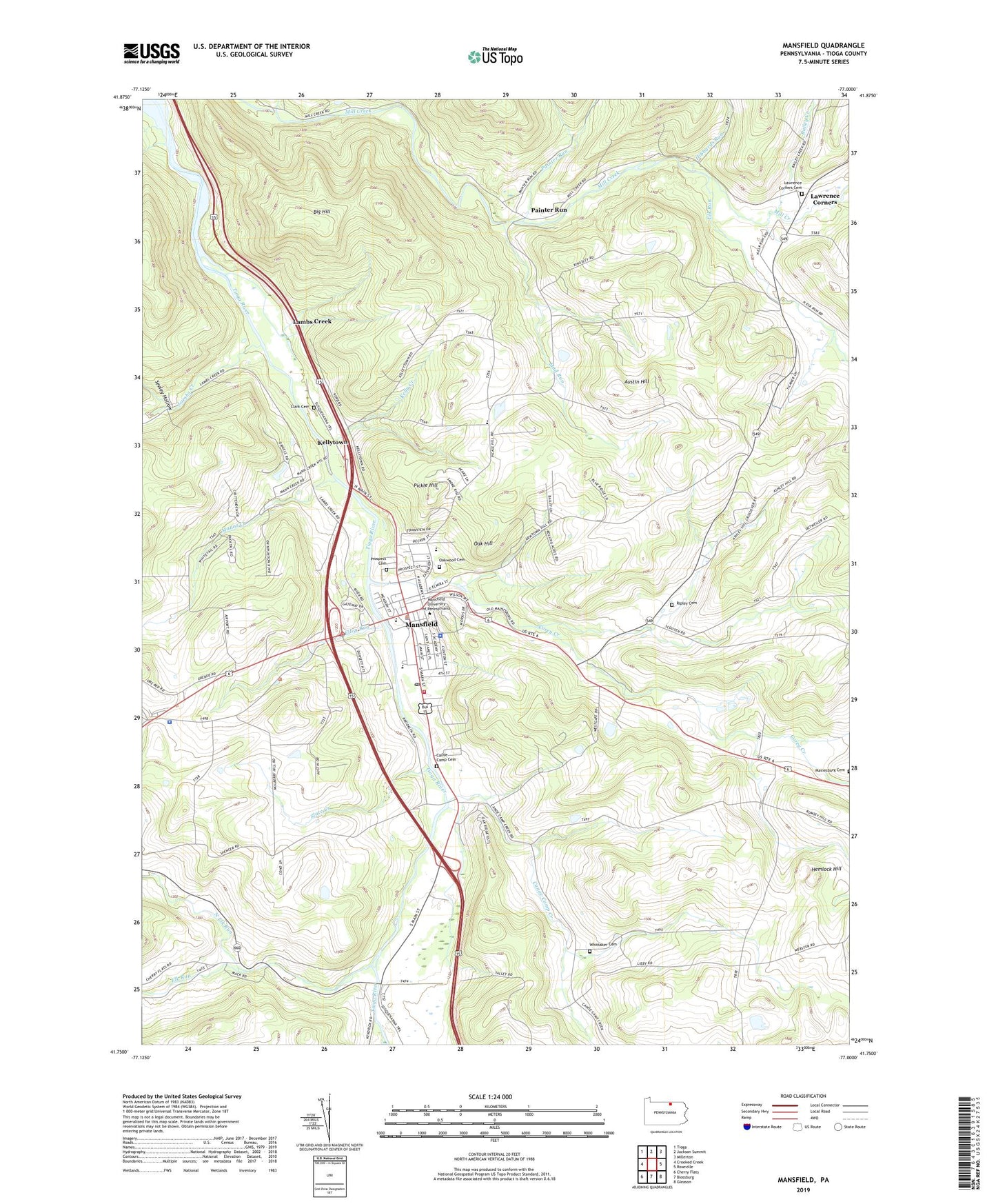
2023 topographic map quadrangle Mansfield in the state of Pennsylvania. Scale: 1:24000. Based on the newly updated USGS 7.5' US Topo map series, this map is in the following counties: Tioga. The map contains contour data, water features, and other items you are used to seeing on USGS maps, but also has updated roads and other features. This is the next generation of topographic maps. Printed on high-quality waterproof paper with UV fade-resistant inks.
Quads adjacent to this one:
West: Crooked Creek
Northwest: Tioga
North: Jackson Summit
Northeast: Millerton
East: Roseville
Southeast: Gleason
South: Blossburg
Southwest: Cherry Flats
This map covers the same area as the classic USGS quad with code o41077g1.
Contains the following named places: Alumni Hall Student Center, Austin Hill, Bailey Creek, Beecher House, Belknap Hall, Big Hill, Big Rift Creek, Borough of Mansfield, Cabin Run, Canoe Camp, Canoe Camp Cemetery, Canoe Camp Creek, Cedarcrest Manor, Clark Cemetery, College, Corey Creek, Corey Creek Golf Course, Decker Gymnasium, Elk Run, Ellen Run, Grace Steadman Theatre, Grant Science Center, Hemlock Hill, Hemlock Manor, Hibbards Run, Karl Van Norman Football Field, Kelly Creek, Kellytown, Lambs Creek, Lawrence Corners, Lawrence Corners Cemetery, Mad Run, Mainesburg Cemetery, Manns Creek, Manser Dining Hall, Mansfield, Mansfield Borough Police Department, Mansfield Fire Department, Mansfield Post Office, Mansfield University of Pennsylvania, Mansfield University Police Department, Myers Soccer Field, North Elk Run, North Hall Library, Northeast, Northwest, Oak Hill, Oakwood Cemetery, Painter Run, Paisley, Pennsylvania State Police Troop F Mansfield Station, Pickle Hill, Pinecrest Manor, Prospect Cemetery, Retam Center, Ripley Cemetery, River West, Robert T Maxson Track, Rod Kelchner Fitness Center, Russell Practice Football Field, Seeley Hollow, Slate Creek, The Hut, Township of Richmond, West Branch Painter Run, Whittaker - Jaquish - Knowlton Cemetery, Will George Bulter Music Center, William R Straughn Hall, WNTE-FM (Mansfield), ZIP Code: 16933


