MyTopo
Cedar Grove Tennessee US Topo Map
Couldn't load pickup availability
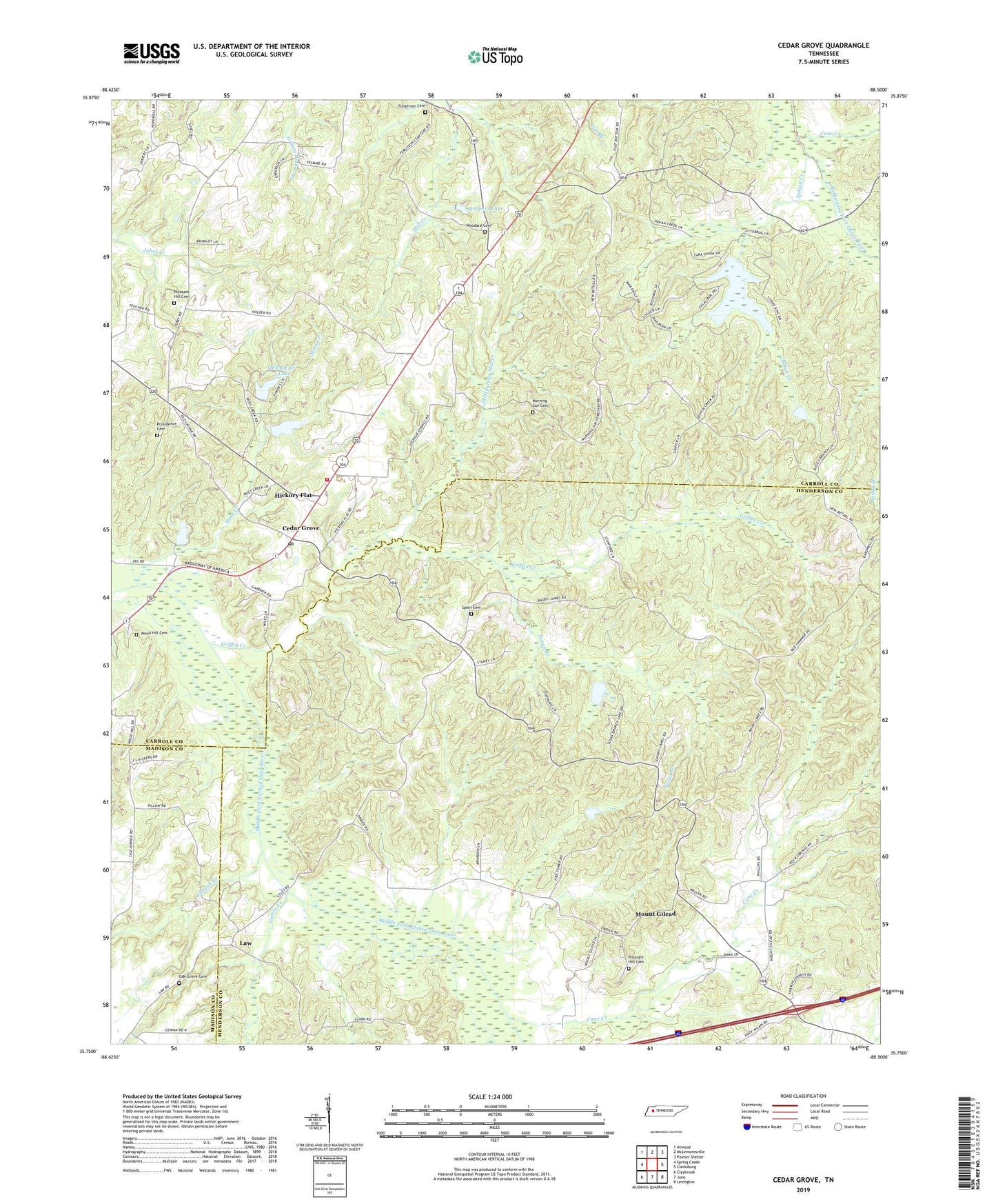
2022 topographic map quadrangle Cedar Grove in the state of Tennessee. Scale: 1:24000. Based on the newly updated USGS 7.5' US Topo map series, this map is in the following counties: Henderson, Carroll, Madison. The map contains contour data, water features, and other items you are used to seeing on USGS maps, but also has updated roads and other features. This is the next generation of topographic maps. Printed on high-quality waterproof paper with UV fade-resistant inks.
Quads adjacent to this one:
West: Spring Creek
Northwest: Atwood
North: McLemoresville
Northeast: Palmer Shelter
East: Clarksburg
Southeast: Lexington
South: Juno
Southwest: Claybrook
This map covers the same area as the classic USGS quad with code o35088g5.
Contains the following named places: Cane Creek, Carroll County Rural Fire Department District 5 Cedar Grove, Cedar Grove, Cedar Grove Church, Cedar Grove Division, Cedar Grove Post Office, Cedar Grove School, Christ Temple, Clark School, District 6, Duncans Store, Eubank Branch, Furgerson Cemetery, Griffin Creek, Gurley Creek, Hickory Flat, Hickory Flat Church, Hoopers Lake, Indian Creek, Indian Creek Lake Number 87-1, Indian Creek Number 87-1 Dam, Law, Lebanon Church, McHaney, McHayneys Mill, McHayneys Mill Creek, Morning Sun Cemetery, Morning Sun Church, Moss Creek, Moss Creek Lake, Moss Creek OFDBA 87-4 Dam, Moss Rest, Mount Gilead, Mount Gilead Baptist Church, Mount Gilead Lookout Tower, Munt Gilead School, New Bethel Baptist Church, Oak Grove Cemetery, OFDBA 87-3 Dam, OFDBA 87-3 Lake, Pleasant Hill Cemetery, Pleasant Hill Church, Providence Cemetery, Sharon, Sharon Church, Smith, Spain, Spain Cemetery, Stanford Farms, Susan Branch, Susan Branch 87-7 Dam, Susan Branch Lake, Utley, Wood Hill Cemetery, Woodard Cemetery, Woodhill, ZIP Code: 38321