MyTopo
Coopers Chapel Texas US Topo Map
Couldn't load pickup availability
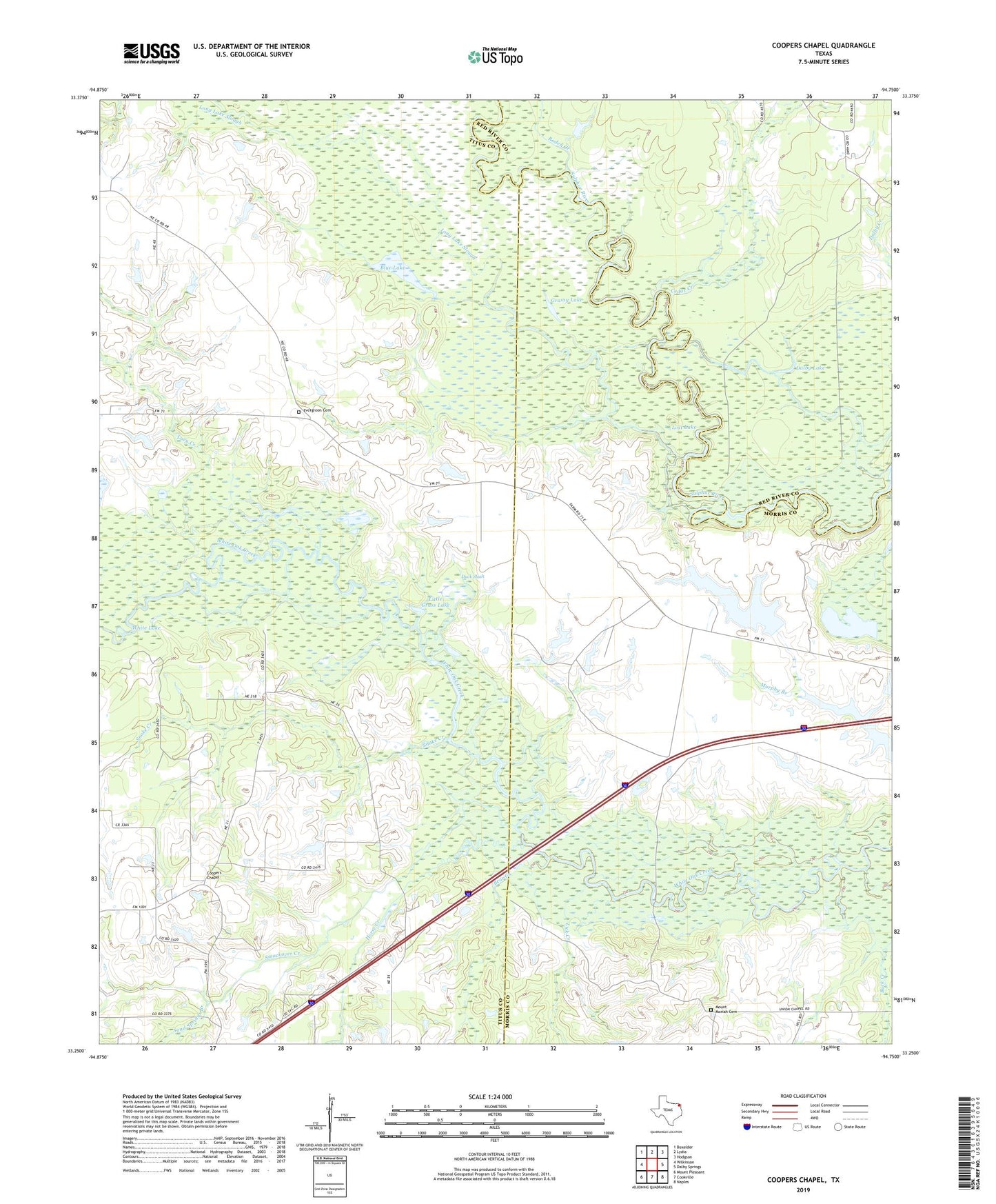
2022 topographic map quadrangle Coopers Chapel in the state of Texas. Scale: 1:24000. Based on the newly updated USGS 7.5' US Topo map series, this map is in the following counties: Titus, Morris, Red River. The map contains contour data, water features, and other items you are used to seeing on USGS maps, but also has updated roads and other features. This is the next generation of topographic maps. Printed on high-quality waterproof paper with UV fade-resistant inks.
Quads adjacent to this one:
West: Wilkinson
Northwest: Boxelder
North: Lydia
Northeast: Hodgson
East: Dalby Springs
Southeast: Naples
South: Cookville
Southwest: Mount Pleasant
This map covers the same area as the classic USGS quad with code o33094c7.
Contains the following named places: Bear Creek, Blue Lake, Broseco Dam Number 2, Broseco Lake Number 1, Broseco Lake Number 2, Buck Creek, Cedar Creek, Coopers Chapel, Dalby Lake, Duck Slash, Evergreen Cemetery, Grassy Lake, Hill Hole, Horse Creek, Lacy Creek, Lick Creek, Little Grass Lake, Long Lake Slough, Lost Lake, Mount Moriah Cemetery, Pewitt Ranch Oil Field, Roden Creek, Sand Springs Branch, Smackover Creek, Snake Creek, Taylor Creek, Union Chapel, White Lake, White Oak Church, White Oak Creek Wildlife Management Area