MyTopo
Sarita SW Texas US Topo Map
Couldn't load pickup availability
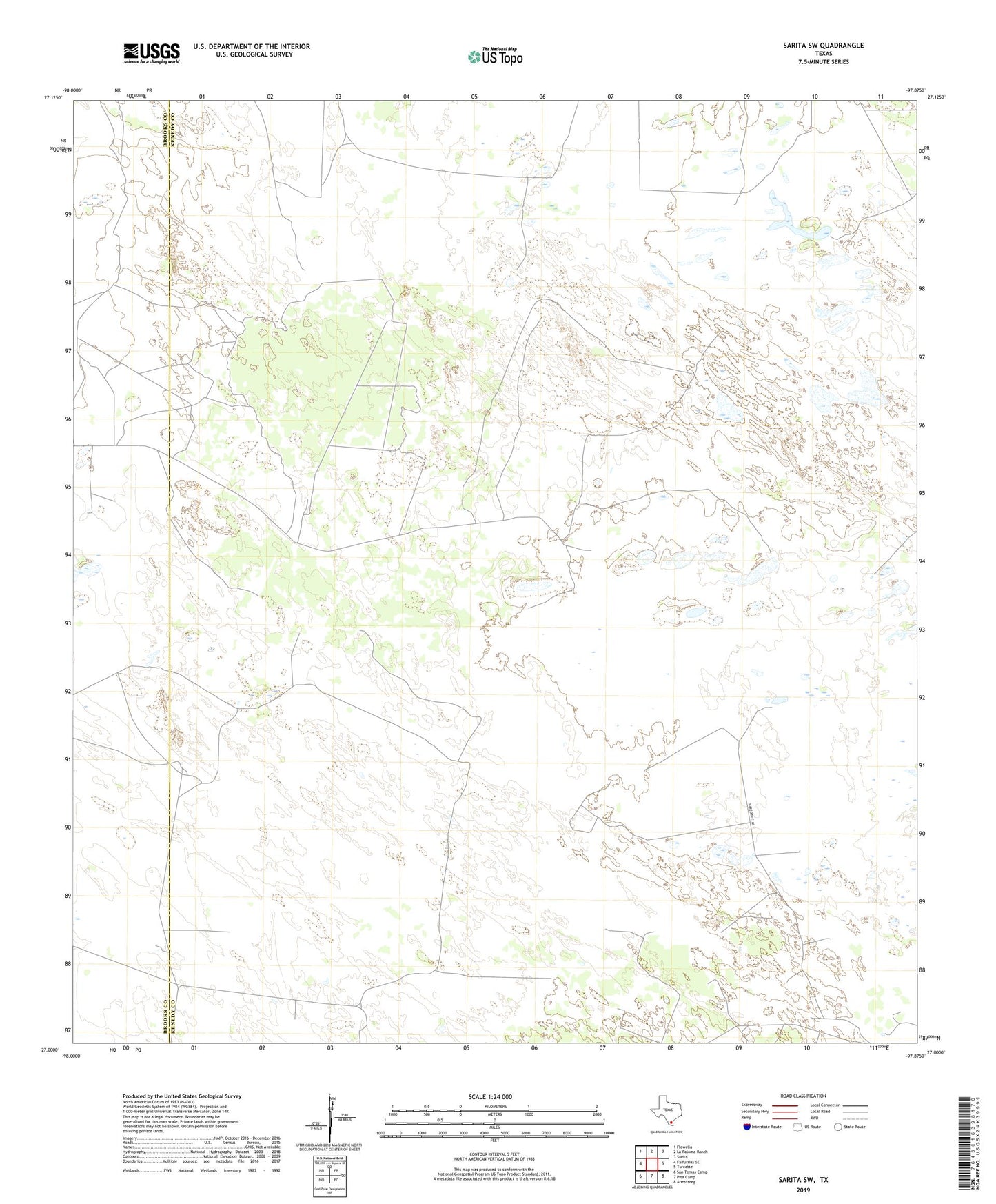
2022 topographic map quadrangle Sarita SW in the state of Texas. Scale: 1:24000. Based on the newly updated USGS 7.5' US Topo map series, this map is in the following counties: Kenedy, Brooks. The map contains contour data, water features, and other items you are used to seeing on USGS maps, but also has updated roads and other features. This is the next generation of topographic maps. Printed on high-quality waterproof paper with UV fade-resistant inks.
Quads adjacent to this one:
West: Falfurrias SE
Northwest: Flowella
North: La Paloma Ranch
Northeast: Sarita
East: Turcotte
Southeast: Armstrong
South: Pita Camp
Southwest: San Tomas Camp
This map covers the same area as the classic USGS quad with code o27097a8.
Contains the following named places: Benadito Well, Cadillo Windmill, Disputas Windmill, Finado Windmill, Guajalote Windmill, Honeymoon Windmill, La Barenda Windmill, La Novia Windmill, Mangel Windmill, Patricio Windmill, Quick Windmill, Ramita Windmill, Retama Windmill, Rodeo Windmill, San Pedro Windmill, Tinajos Windmill, Tresquila Windmill, Venada Windmill