MyTopo
Santa Elena SE Texas US Topo Map
Couldn't load pickup availability
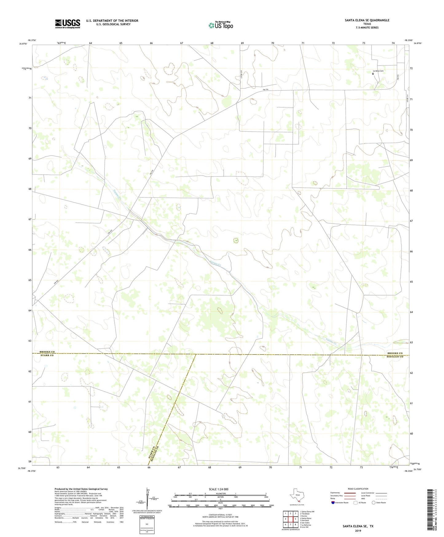
2022 topographic map quadrangle Santa Elena SE in the state of Texas. Scale: 1:24000. Based on the newly updated USGS 7.5' US Topo map series, this map is in the following counties: Brooks, Hidalgo, Starr. The map contains contour data, water features, and other items you are used to seeing on USGS maps, but also has updated roads and other features. This is the next generation of topographic maps. Printed on high-quality waterproof paper with UV fade-resistant inks.
Quads adjacent to this one:
West: Santa Elena
Northwest: Santa Elena NW
North: Tacubaya
Northeast: Encino
East: Hartland
Southeast: Linn NW
South: La Reforma
Southwest: San Isidro
This map covers the same area as the classic USGS quad with code o26098g3.
Contains the following named places: Agua Dulce Windmill, Conicula Windmill, Embarque Windmill, Encinitas Oil Field, Gallo Windmill, Huella Windmill, Juarez Well, La Mesa Cemetery, La Visnaga Windmill, Registre Windmill, Sharps Windmill