MyTopo
Trout Creek Texas US Topo Map
Couldn't load pickup availability
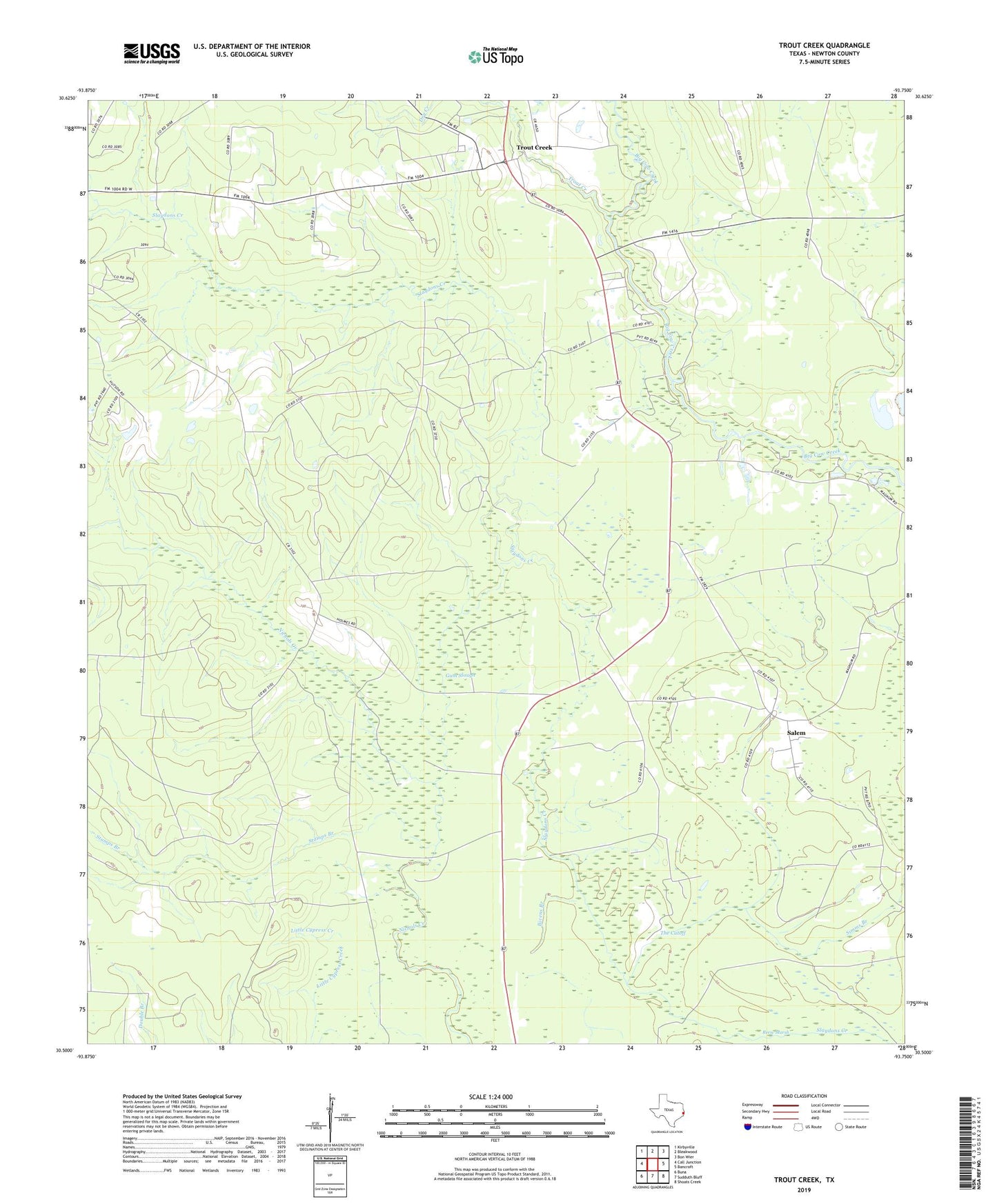
2022 topographic map quadrangle Trout Creek in the state of Texas. Scale: 1:24000. Based on the newly updated USGS 7.5' US Topo map series, this map is in the following counties: Newton. The map contains contour data, water features, and other items you are used to seeing on USGS maps, but also has updated roads and other features. This is the next generation of topographic maps. Printed on high-quality waterproof paper with UV fade-resistant inks.
Quads adjacent to this one:
West: Call Junction
Northwest: Kirbyville
North: Bleakwood
Northeast: Bon Wier
East: Bancroft
Southeast: Shoats Creek
South: Sudduth Bluff
Southwest: Buna
This map covers the same area as the classic USGS quad with code o30093e7.
Contains the following named places: Call, Call Division, Camp Bill Stark, Camp Otanya, Gum Slough, Newton County Emergency Services District 2, Newton County Emergency Services District 2 Substation, Newton Oil Field, Reese Marsh, Salem, Stamps Branch, The Cutoff, Trout Creek, West Log House, ZIP Code: 75933