MyTopo
Guler Mountain Washington US Topo Map
Couldn't load pickup availability
Also explore the Guler Mountain Forest Service Topo of this same quad for updated USFS data
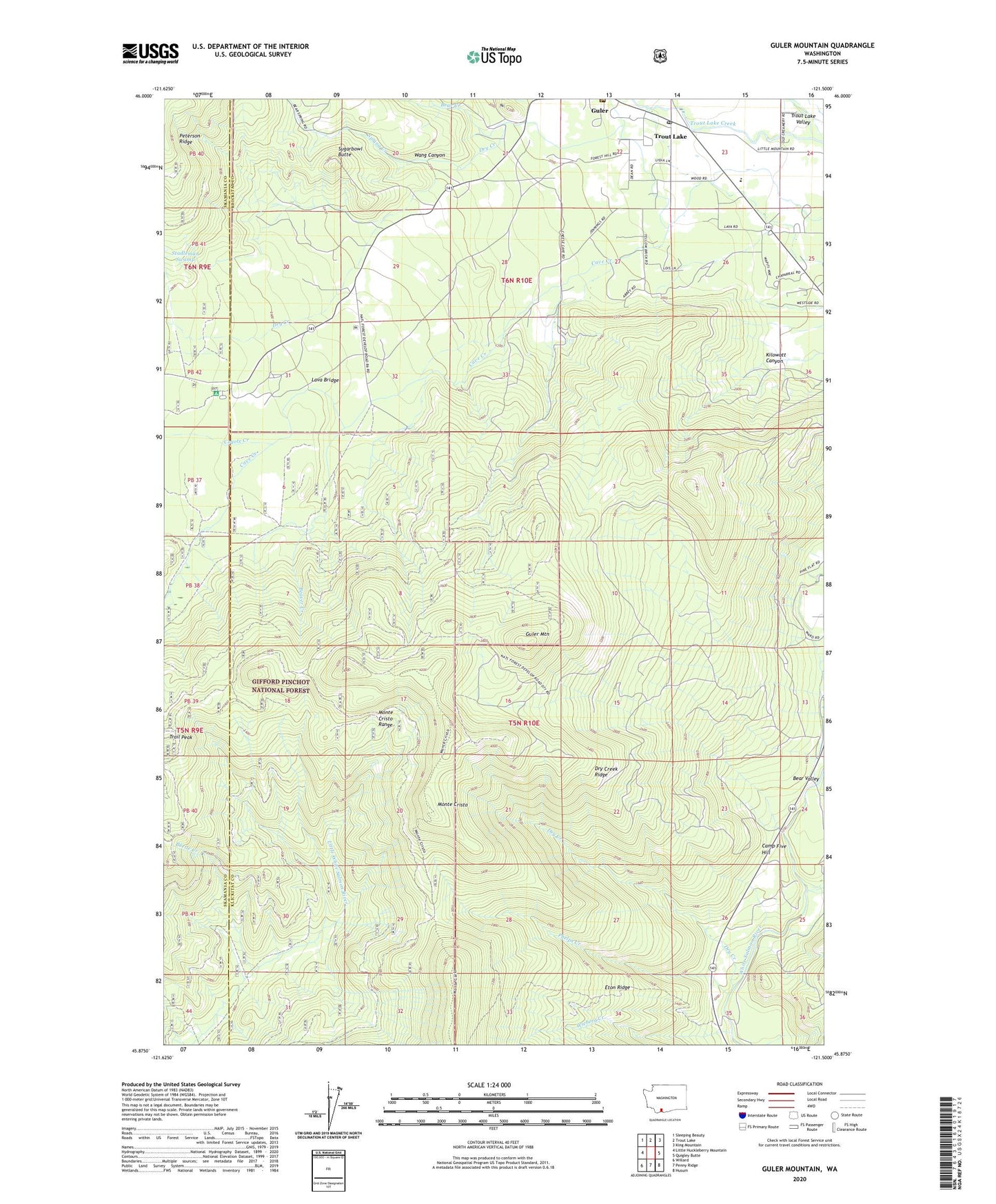
2023 topographic map quadrangle Guler Mountain in the state of Washington. Scale: 1:24000. Based on the newly updated USGS 7.5' US Topo map series, this map is in the following counties: Klickitat, Skamania. The map contains contour data, water features, and other items you are used to seeing on USGS maps, but also has updated roads and other features. This is the next generation of topographic maps. Printed on high-quality waterproof paper with UV fade-resistant inks.
Quads adjacent to this one:
West: Little Huckleberry Mountain
Northwest: Sleeping Beauty
North: Trout Lake
Northeast: King Mountain
East: Quigley Butte
Southeast: Husum
South: Penny Ridge
Southwest: Willard
This map covers the same area as the classic USGS quad with code o45121h5.
Contains the following named places: Bear Creek, Bear Valley, Beaver Creek, Beetle Creek, Camp Five Hill, Cave Creek, Dry Creek, Dry Creek Ridge, Eton Ridge, Gablehouse Mill, Guler, Guler Mount Adams County Park, Guler Mountain, Kilowatt Canyon, Lava Bridge, Little White Salmon Trail, Monte Cristo, Monte Cristo Range, Mount Adams Ranger Station, Oklahoma Trail, Phelps Creek, Smeltzer Mill, Spring Creek, Stadleman Swamp, Sugarbowl Butte, Trout Lake, Trout Lake Census Designated Place, Trout Lake Creek, Trout Lake Elementary School, Trout Lake Junior-Senior High School, Trout Lake Post Office, Wang Canyon, Wieberg Creek, ZIP Code: 98650