MyTopo
Wallace Lake Washington US Topo Map
Couldn't load pickup availability
Also explore the Wallace Lake Forest Service Topo of this same quad for updated USFS data
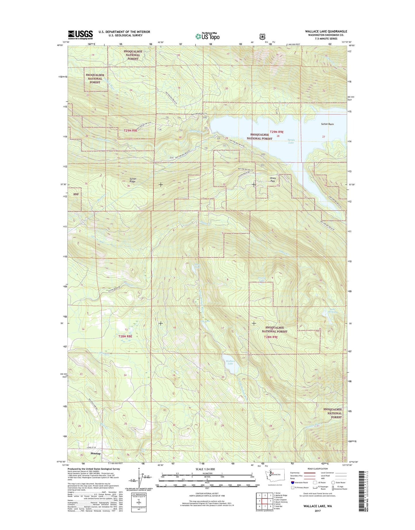
2023 topographic map quadrangle Wallace Lake in the state of Washington. Scale: 1:24000. Based on the newly updated USGS 7.5' US Topo map series, this map is in the following counties: Snohomish. The map contains contour data, water features, and other items you are used to seeing on USGS maps, but also has updated roads and other features. This is the next generation of topographic maps. Printed on high-quality waterproof paper with UV fade-resistant inks.
Quads adjacent to this one:
West: Lake Chaplain
Northwest: Verlot
North: Mallardy Ridge
Northeast: Silverton
East: Mount Stickney
Southeast: Index
South: Gold Bar
Southwest: Sultan
This map covers the same area as the classic USGS quad with code o47121h6.
Contains the following named places: Cecelia Lake, City of Everett Watershed, Culmback Dam, Dick Creek, Jay Lake, Lake Stickney, Lockwood Mine, Olney Falls, Olney Park Recreation Area, Olney Pass, Poplin Dam, Shaw Lake, South Fork Sultan River, Spada Lake, Sultan Basin, Sultan Ridge, Wallace Lake