MyTopo
Duroc Wyoming US Topo Map
Couldn't load pickup availability
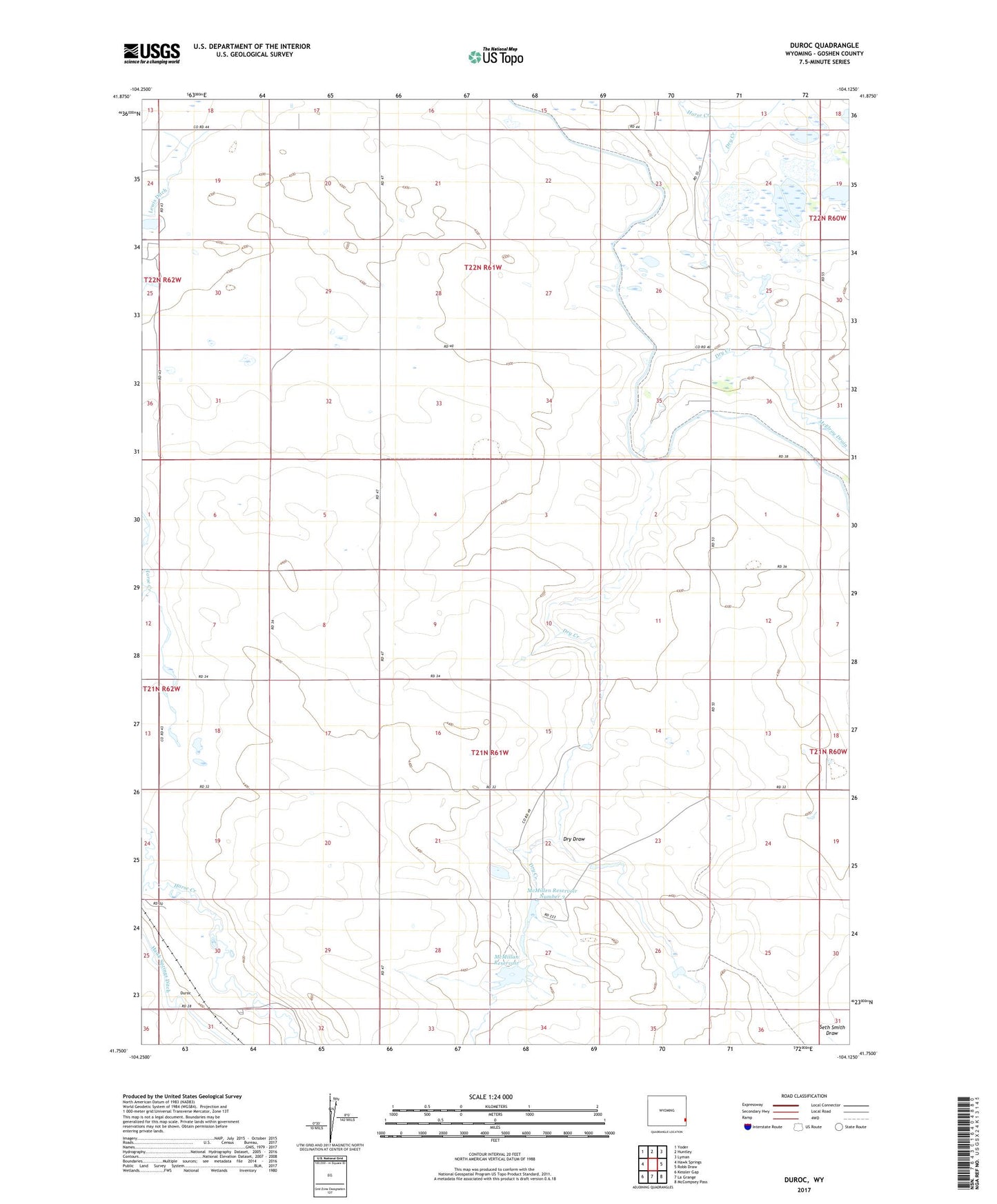
2021 topographic map quadrangle Duroc in the state of Wyoming. Scale: 1:24000. Based on the newly updated USGS 7.5' US Topo map series, this map is in the following counties: Goshen. The map contains contour data, water features, and other items you are used to seeing on USGS maps, but also has updated roads and other features. This is the next generation of topographic maps. Printed on high-quality waterproof paper with UV fade-resistant inks.
Quads adjacent to this one:
West: Hawk Springs
Northwest: Yoder
North: Huntley
Northeast: Lyman
East: Robb Draw
Southeast: McCompsey Pass
South: La Grange
Southwest: Kessler Gap
This map covers the same area as the classic USGS quad with code o41104g2.
Contains the following named places: Crockett Main Drain, Dry Creek, Dry Draw, Duroc, Hawk Springs Ditch, Lewis Ditch, McMillan Reservoir, McMillen Number 2 Dam, McMillen Number 2 Reservoir, McMillen Number 3 Dam, McMillen Reservoir Number 3, Seth Smith Draw, ZIP Code: 82217