

Classic USGS Quads
(7.5' series)
These pre-2009, 1:24,000 scale, 7.5 minute maps are the standard for topographic mapping in the US and are widely considered the most detailed maps available. Nearly all navigation apps, software, and trail maps series, including the new US Topo Maps, are derived from these maps. Many outdoors people still prefer the classic quads due to the unmatched level of detail, accuracy, and symbology honed over a 100-year period by dedicated cartographers and surveyors employed by the US Government.
In 2009, the USGS began producing a digitized version of the maps, called the US Topo, in order to keep up with new road systems and development, but the "Classic" quads have a level of detail not yet achieved by the new versions and remain the preferred option for many topographic map users.
-
Classic USGS Lakeville Indiana 7.5'x7.5' Topo Map
Regular price $16.95Regular priceUnit price per
-
Classic USGS Lanesville Indiana 7.5'x7.5' Topo Map
Regular price $16.95Regular priceUnit price per
-
Classic USGS Lapel Indiana 7.5'x7.5' Topo Map
Regular price $16.95Regular priceUnit price per
-
Classic USGS LaPorte East Indiana 7.5'x7.5' Topo Map
Regular price $16.95Regular priceUnit price per
-
Classic USGS LaPorte West Indiana 7.5'x7.5' Topo Map
Regular price $16.95Regular priceUnit price per
-
Classic USGS Laud Indiana 7.5'x7.5' Topo Map
Regular price $16.95Regular priceUnit price per
-
Classic USGS Lawrenceburg Indiana 7.5'x7.5' Topo Map
Regular price $16.95Regular priceUnit price per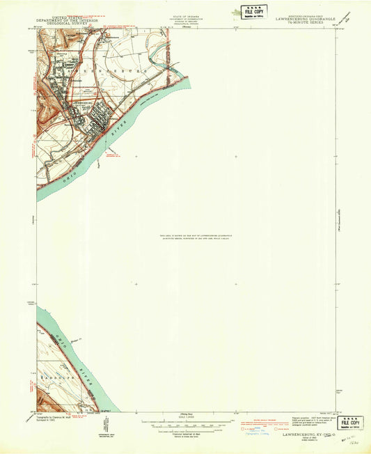
-
Classic USGS Leavenworth Indiana 7.5'x7.5' Topo Map
Regular price $16.95Regular priceUnit price per
-
Classic USGS Lebanon Indiana 7.5'x7.5' Topo Map
Regular price $16.95Regular priceUnit price per
-
Classic USGS Leesburg Indiana 7.5'x7.5' Topo Map
Regular price $16.95Regular priceUnit price per
-
Classic USGS Leesville Illinois 7.5'x7.5' Topo Map
Regular price $16.95Regular priceUnit price per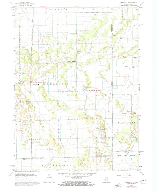
-
Classic USGS Leroy Indiana 7.5'x7.5' Topo Map
Regular price $16.95Regular priceUnit price per
-
Classic USGS Lewis Creek Indiana 7.5'x7.5' Topo Map
Regular price $16.95Regular priceUnit price per
-
Classic USGS Lewis Indiana 7.5'x7.5' Topo Map
Regular price $16.95Regular priceUnit price per
-
Classic USGS Lewisport Kentucky 7.5'x7.5' Topo Map
Regular price $16.95Regular priceUnit price per
-
Classic USGS Lewisville Indiana 7.5'x7.5' Topo Map
Regular price $16.95Regular priceUnit price per
-
Classic USGS Liberty Center Indiana 7.5'x7.5' Topo Map
Regular price $16.95Regular priceUnit price per
-
Classic USGS Liberty Indiana 7.5'x7.5' Topo Map
Regular price $16.95Regular priceUnit price per
-
Classic USGS Ligonier Indiana 7.5'x7.5' Topo Map
Regular price $16.95Regular priceUnit price per
-
Classic USGS Linden Indiana 7.5'x7.5' Topo Map
Regular price $16.95Regular priceUnit price per
-
Classic USGS Linn Grove Indiana 7.5'x7.5' Topo Map
Regular price $16.95Regular priceUnit price per
-
Classic USGS Linton Indiana 7.5'x7.5' Topo Map
Regular price $16.95Regular priceUnit price per
-
Classic USGS Little York Indiana 7.5'x7.5' Topo Map
Regular price $16.95Regular priceUnit price per
-
Classic USGS Livonia Indiana 7.5'x7.5' Topo Map
Regular price $16.95Regular priceUnit price per


Custom Maps Available
Need something special?
Find your map's location and then customize a map (or photo) to your exact specifications.
USGS Map Legend
Want the "key" to understanding your topographic map?
Check out this handy publication from the USGS.