MyTopo
Salt River Peak Arizona US Topo Map
Couldn't load pickup availability
Also explore the Salt River Peak Forest Service Topo of this same quad for updated USFS data
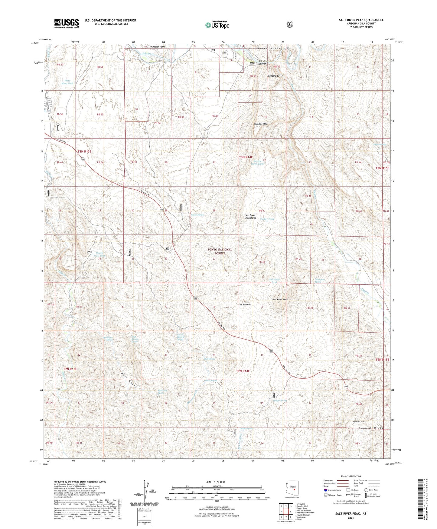
2021 topographic map quadrangle Salt River Peak in the state of Arizona. Scale: 1:24000. Based on the newly updated USGS 7.5' US Topo map series, this map is in the following counties: Gila. The map contains contour data, water features, and other items you are used to seeing on USGS maps, but also has updated roads and other features. This is the next generation of topographic maps. Printed on high-quality waterproof paper with UV fade-resistant inks.
Quads adjacent to this one:
West: Two Bar Mountain
Northwest: Windy Hill
North: Meddler Wash
Northeast: Dagger Peak
East: Rockinstraw Mountain
Southeast: Globe
South: Inspiration
Southwest: Haunted Canyon
This map covers the same area as the classic USGS quad with code o33110e8.
Contains the following named places: Barley Patch Tank, Barnes Wash, Bell Gulch, Bell Gulch Spring, Blevens Wash, Blevens Wash Well, Bluff Spring, Dagger Spring, DeVore Wash, DeVore Well, Eads Wash, Gerald Hills, Ground Tank, Haven Trail Tank, Henderson Ranch, Henderson Spring, Hicks Well, High Blevens Spring, H-Z Wash, Indian Spring, Inspiration Dam, Klondike Butte, Klondike Mountain, Laurel Spring, Little Campaign Creek, Lower Blevens Spring, Pinal Creek, Pinal Well, Pinto Creek Well, Pinto Mesa Tank, Poison Spring, Poison Springs Wash, Power Canal, Pringle Pump, Quail Springs Wash, Rockhouse Store, Rockhouse Well, Roosevelt Estates Census Designated Place, Roosevelt Lake Resort, Roosevelt Resort, Salt Peak Tank, Salt River Canyon, Salt River Mountains, Salt River Peak, Scanlon Well, Shute Springs, Shute Springs Creek, Summit Well, The Summit, Thirtynine Spring, Tucker Tank, Wildcat Creek