

Classic USGS Quads
(7.5' series)
These pre-2009, 1:24,000 scale, 7.5 minute maps are the standard for topographic mapping in the US and are widely considered the most detailed maps available. Nearly all navigation apps, software, and trail maps series, including the new US Topo Maps, are derived from these maps. Many outdoors people still prefer the classic quads due to the unmatched level of detail, accuracy, and symbology honed over a 100-year period by dedicated cartographers and surveyors employed by the US Government.
In 2009, the USGS began producing a digitized version of the maps, called the US Topo, in order to keep up with new road systems and development, but the "Classic" quads have a level of detail not yet achieved by the new versions and remain the preferred option for many topographic map users.
-
Classic USGS South Salem Ohio 7.5'x7.5' Topo Map
Regular price $16.95Regular priceUnit price per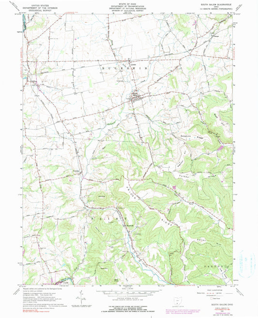
-
Classic USGS South Vienna Ohio 7.5'x7.5' Topo Map
Regular price $16.95Regular priceUnit price per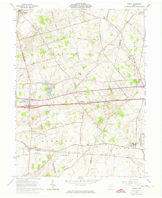
-
Classic USGS South Webster Ohio 7.5'x7.5' Topo Map
Regular price $16.95Regular priceUnit price per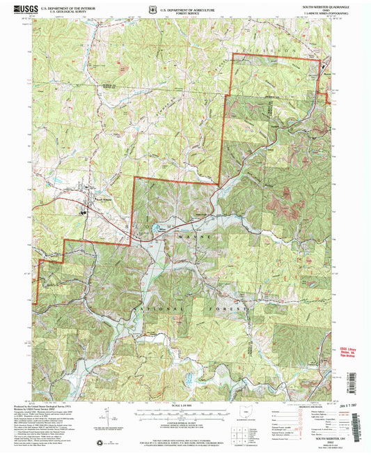
-
Classic USGS Southeast Columbus Ohio 7.5'x7.5' Topo Map
Regular price $16.95Regular priceUnit price per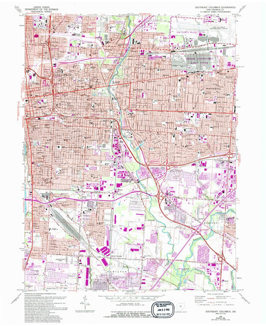
-
Classic USGS Southington Ohio 7.5'x7.5' Topo Map
Regular price $16.95Regular priceUnit price per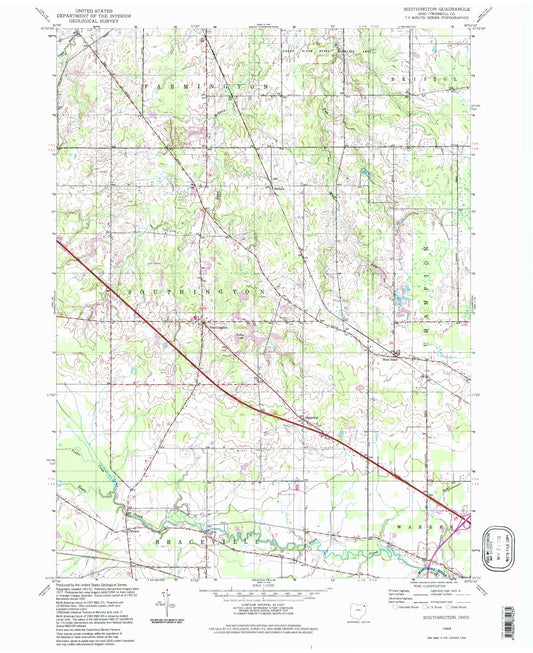
-
Classic USGS Southwest Columbus Ohio 7.5'x7.5' Topo Map
Regular price $16.95Regular priceUnit price per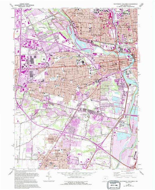
-
Classic USGS Spartanburg Indiana 7.5'x7.5' Topo Map
Regular price $16.95Regular priceUnit price per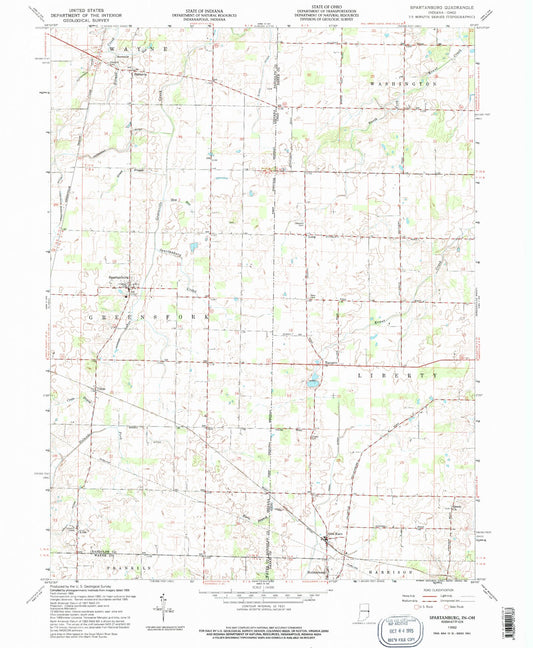
-
Classic USGS Spencerville Ohio 7.5'x7.5' Topo Map
Regular price $16.95Regular priceUnit price per
-
Classic USGS Spring Mountain Ohio 7.5'x7.5' Topo Map
Regular price $16.95Regular priceUnit price per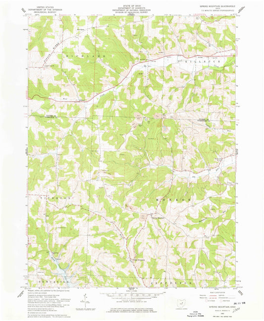
-
Classic USGS Springboro Ohio 7.5'x7.5' Topo Map
Regular price $16.95Regular priceUnit price per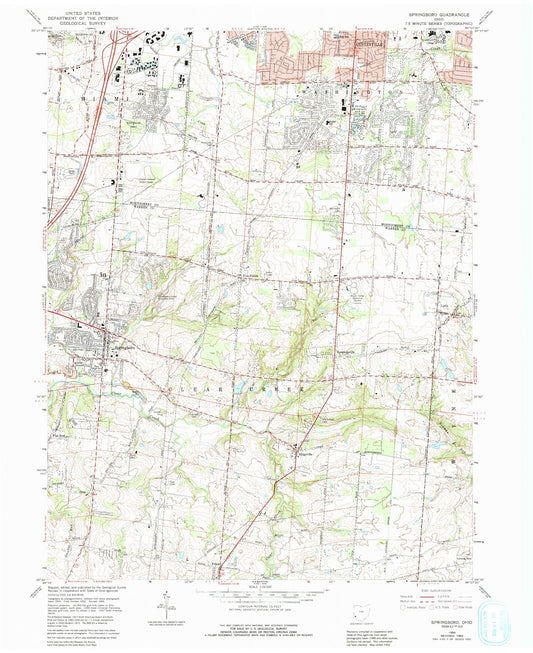
-
Classic USGS Springfield Ohio 7.5'x7.5' Topo Map
Regular price $16.95Regular priceUnit price per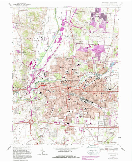
-
Classic USGS Stafford Ohio 7.5'x7.5' Topo Map
Regular price $16.95Regular priceUnit price per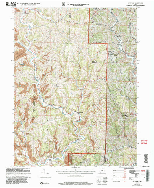
-
Classic USGS Steubenville East Ohio 7.5'x7.5' Topo Map
Regular price $16.95Regular priceUnit price per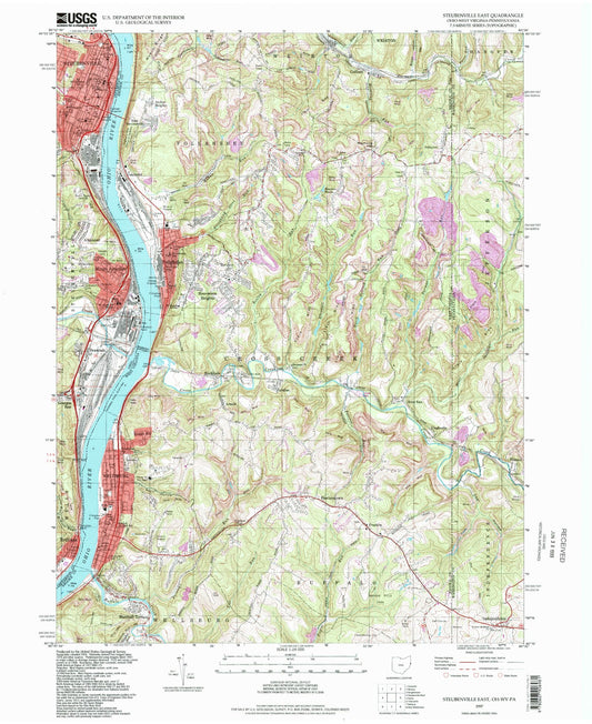
-
Classic USGS Steubenville West Ohio 7.5'x7.5' Topo Map
Regular price $16.95Regular priceUnit price per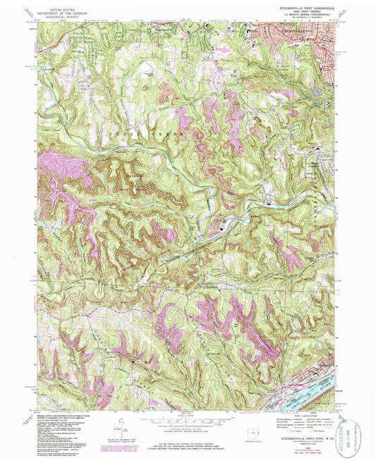
-
Classic USGS Stewart Ohio 7.5'x7.5' Topo Map
Regular price $16.95Regular priceUnit price per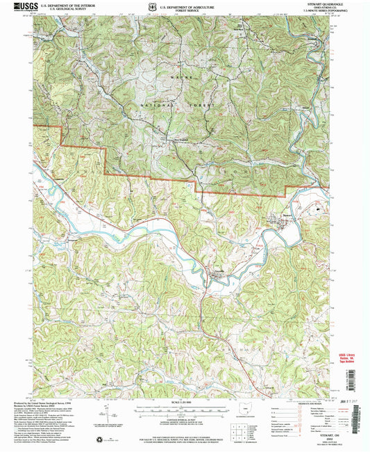
-
Classic USGS Stockdale Ohio 7.5'x7.5' Topo Map
Regular price $16.95Regular priceUnit price per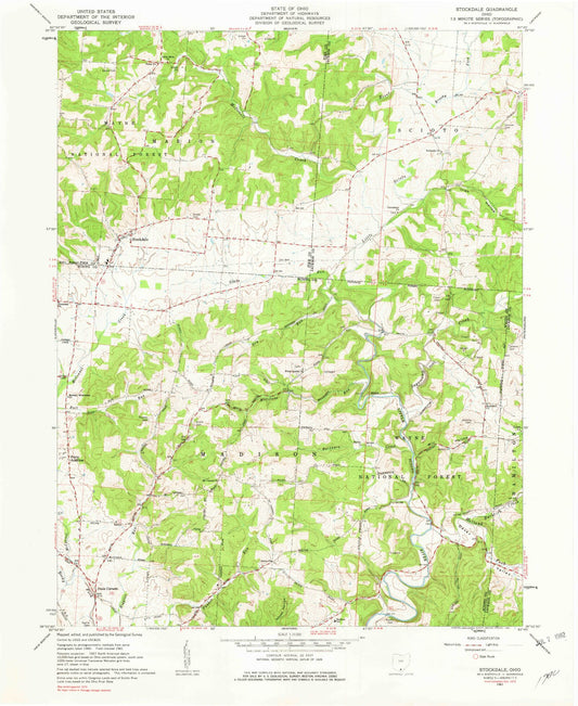
-
Classic USGS Stockport Ohio 7.5'x7.5' Topo Map
Regular price $16.95Regular priceUnit price per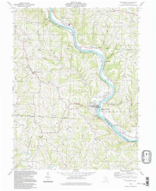
-
Classic USGS Stone Creek Ohio 7.5'x7.5' Topo Map
Regular price $16.95Regular priceUnit price per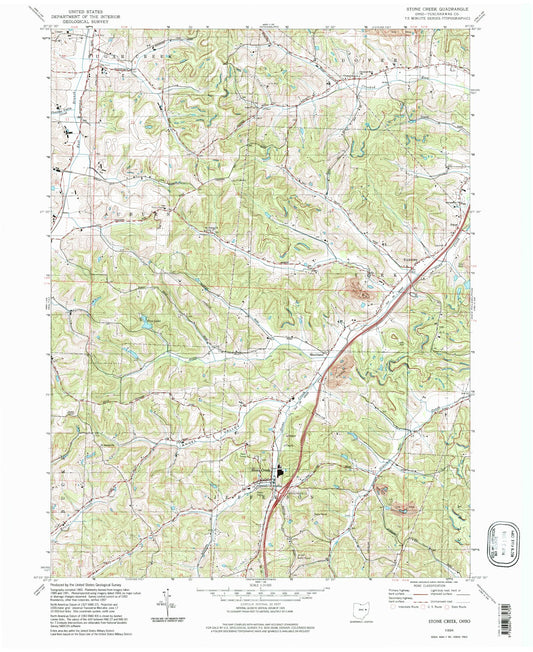
-
Classic USGS Stoutsville Ohio 7.5'x7.5' Topo Map
Regular price $16.95Regular priceUnit price per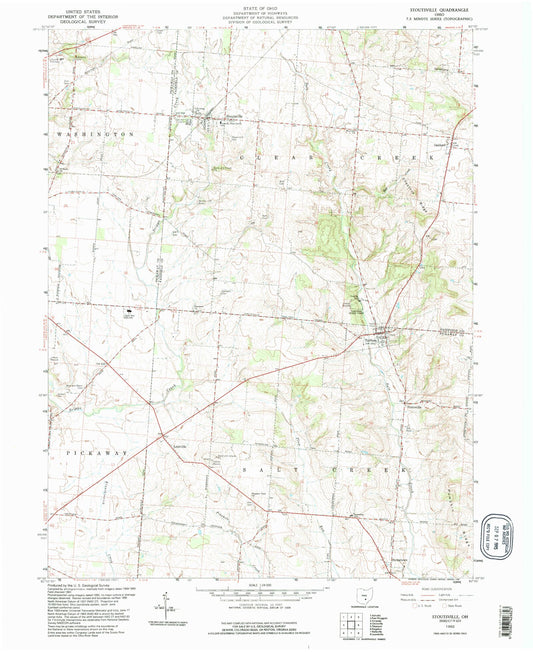
-
Classic USGS Strasburg Ohio 7.5'x7.5' Topo Map
Regular price $16.95Regular priceUnit price per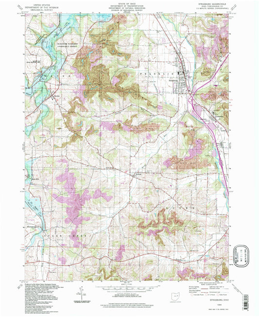
-
Classic USGS Suffield Ohio 7.5'x7.5' Topo Map
Regular price $16.95Regular priceUnit price per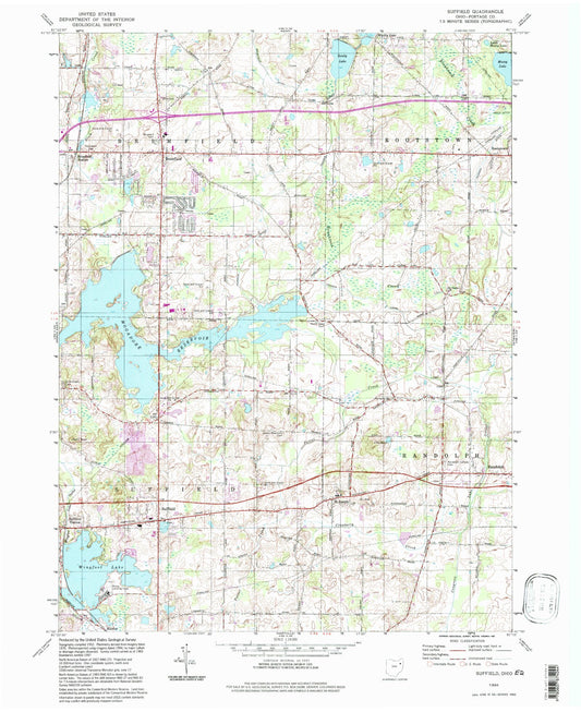
-
Classic USGS Sugar Tree Ridge Ohio 7.5'x7.5' Topo Map
Regular price $16.95Regular priceUnit price per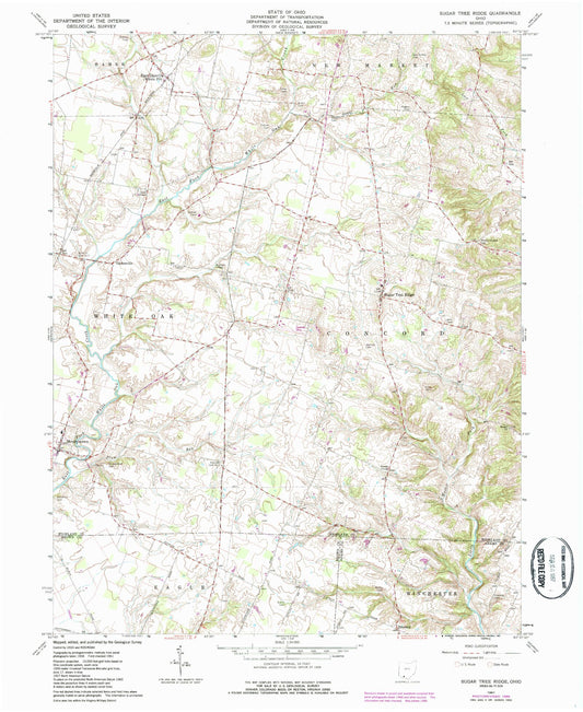
-
Classic USGS Sugarcreek Ohio 7.5'x7.5' Topo Map
Regular price $16.95Regular priceUnit price per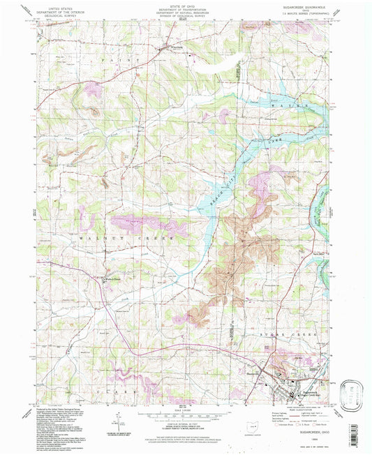
-
Classic USGS Sullivan Ohio 7.5'x7.5' Topo Map
Regular price $16.95Regular priceUnit price per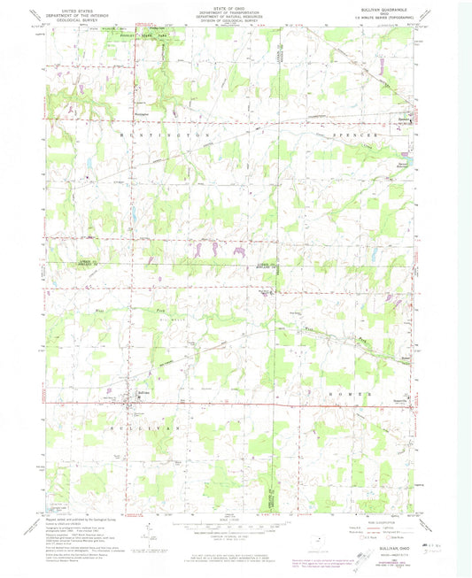


Custom Maps Available
Need something special?
Find your map's location and then customize a map (or photo) to your exact specifications.
USGS Map Legend
Want the "key" to understanding your topographic map?
Check out this handy publication from the USGS.