

Classic USGS Quads
(7.5' series)
These pre-2009, 1:24,000 scale, 7.5 minute maps are the standard for topographic mapping in the US and are widely considered the most detailed maps available. Nearly all navigation apps, software, and trail maps series, including the new US Topo Maps, are derived from these maps. Many outdoors people still prefer the classic quads due to the unmatched level of detail, accuracy, and symbology honed over a 100-year period by dedicated cartographers and surveyors employed by the US Government.
In 2009, the USGS began producing a digitized version of the maps, called the US Topo, in order to keep up with new road systems and development, but the "Classic" quads have a level of detail not yet achieved by the new versions and remain the preferred option for many topographic map users.
-
Classic USGS Scottland Illinois 7.5'x7.5' Topo Map
Regular price $16.95Regular priceUnit price per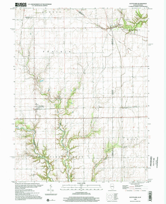
-
Classic USGS Scottsburg Indiana 7.5'x7.5' Topo Map
Regular price $16.95Regular priceUnit price per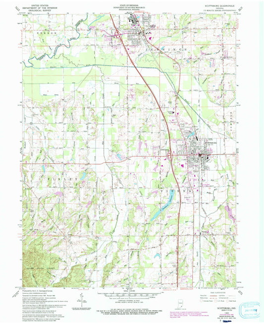
-
Classic USGS Seelyville Indiana 7.5'x7.5' Topo Map
Regular price $16.95Regular priceUnit price per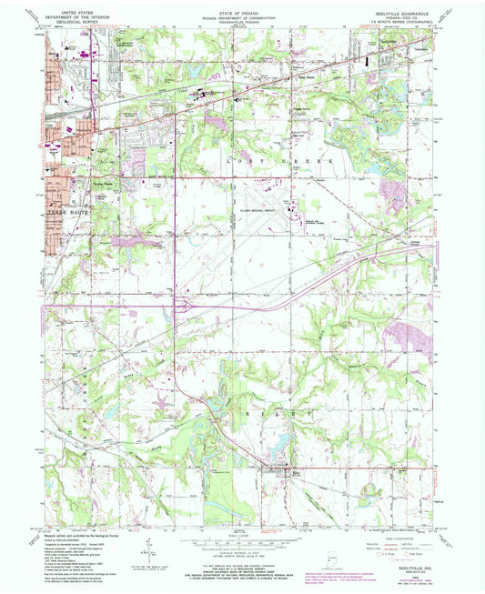
-
Classic USGS Servia Indiana 7.5'x7.5' Topo Map
Regular price $16.95Regular priceUnit price per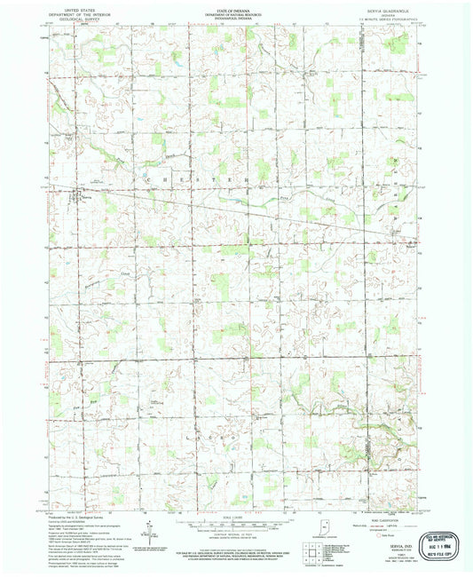
-
Classic USGS Seymour Indiana 7.5'x7.5' Topo Map
Regular price $16.95Regular priceUnit price per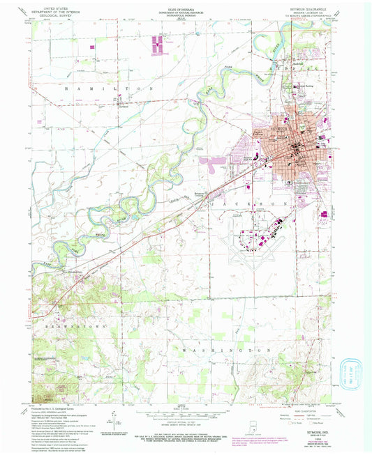
-
Classic USGS Shannondale Indiana 7.5'x7.5' Topo Map
Regular price $16.95Regular priceUnit price per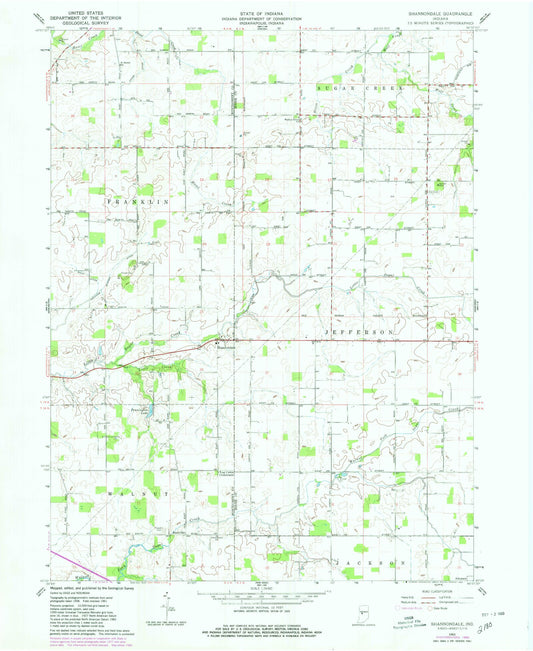
-
Classic USGS Shelburn Indiana 7.5'x7.5' Topo Map
Regular price $16.95Regular priceUnit price per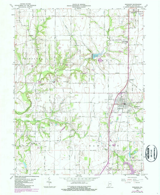
-
Classic USGS Shelby Indiana 7.5'x7.5' Topo Map
Regular price $16.95Regular priceUnit price per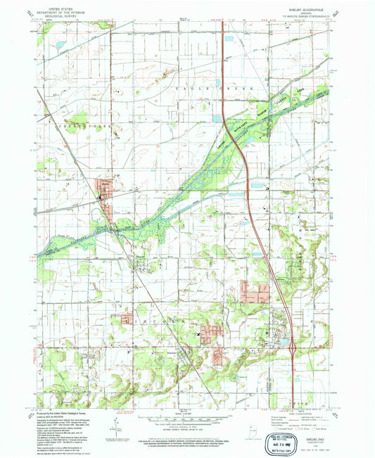
-
Classic USGS Shelbyville Indiana 7.5'x7.5' Topo Map
Regular price $16.95Regular priceUnit price per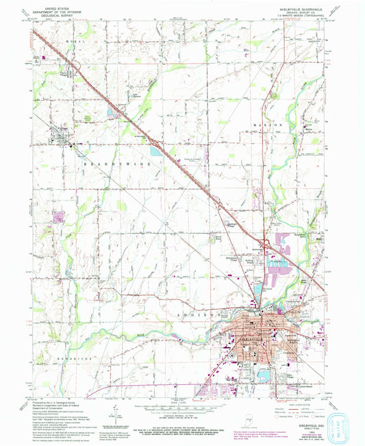
-
Classic USGS Sheldon Illinois 7.5'x7.5' Topo Map
Regular price $16.95Regular priceUnit price per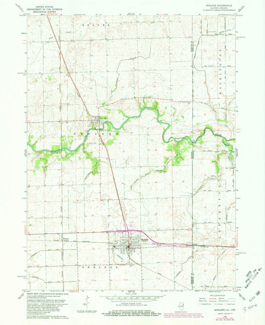
-
Classic USGS Sheridan Indiana 7.5'x7.5' Topo Map
Regular price $16.95Regular priceUnit price per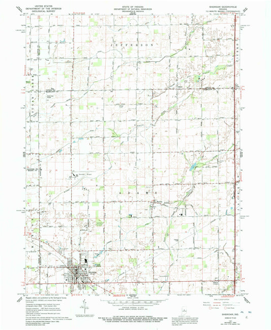
-
Classic USGS Shipshewana Indiana 7.5'x7.5' Topo Map
Regular price $16.95Regular priceUnit price per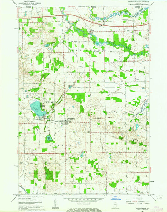
-
Classic USGS Shirley Indiana 7.5'x7.5' Topo Map
Regular price $16.95Regular priceUnit price per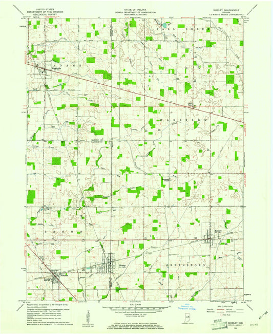
-
Classic USGS Shoals Indiana 7.5'x7.5' Topo Map
Regular price $16.95Regular priceUnit price per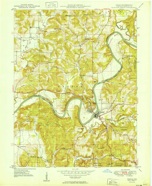
-
Classic USGS Silver Lake Indiana 7.5'x7.5' Topo Map
Regular price $16.95Regular priceUnit price per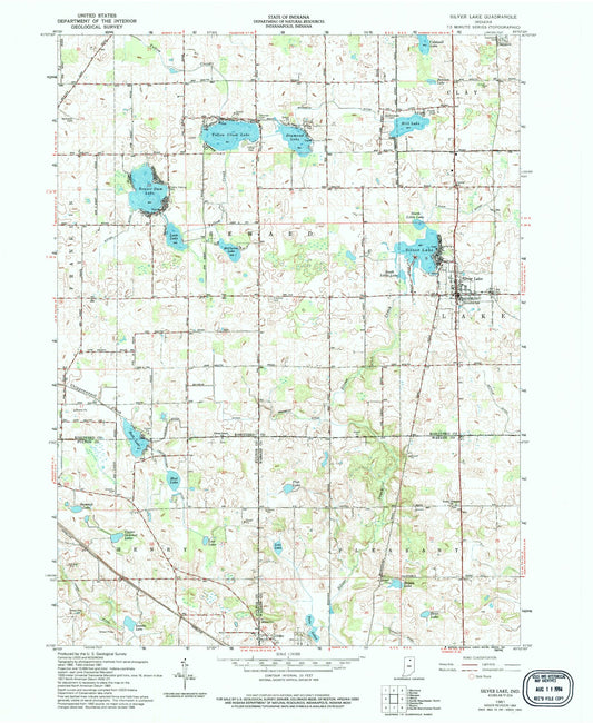
-
Classic USGS Smedley Indiana 7.5'x7.5' Topo Map
Regular price $16.95Regular priceUnit price per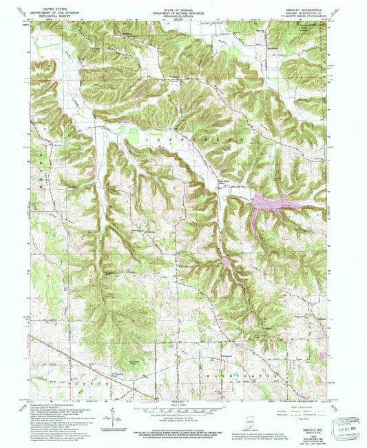
-
Classic USGS Solitude Indiana 7.5'x7.5' Topo Map
Regular price $16.95Regular priceUnit price per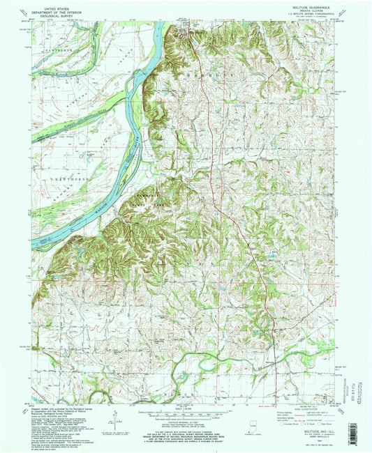
-
Classic USGS Solsberry Indiana 7.5'x7.5' Topo Map
Regular price $16.95Regular priceUnit price per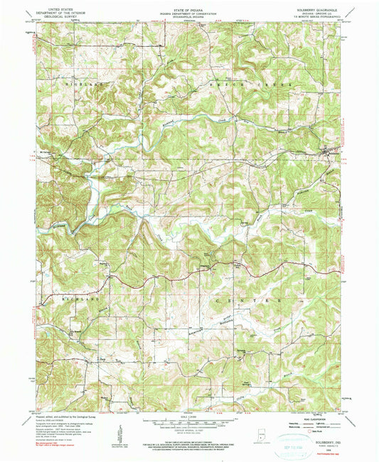
-
Classic USGS Somerset Indiana 7.5'x7.5' Topo Map
Regular price $16.95Regular priceUnit price per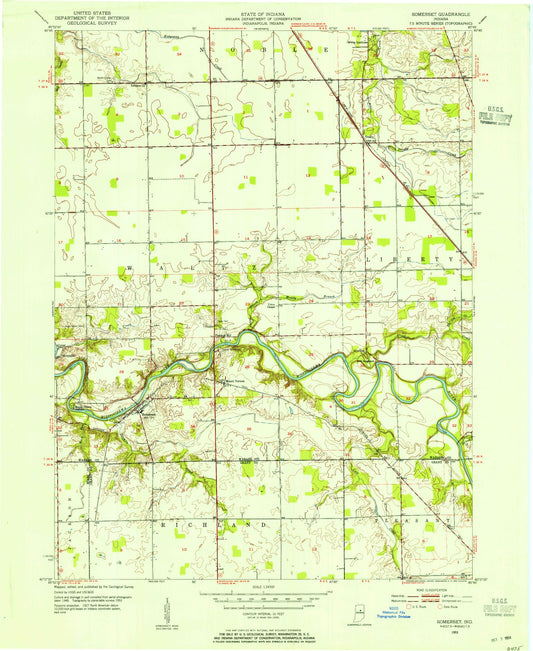
-
Classic USGS South Bend East Indiana 7.5'x7.5' Topo Map
Regular price $16.95Regular priceUnit price per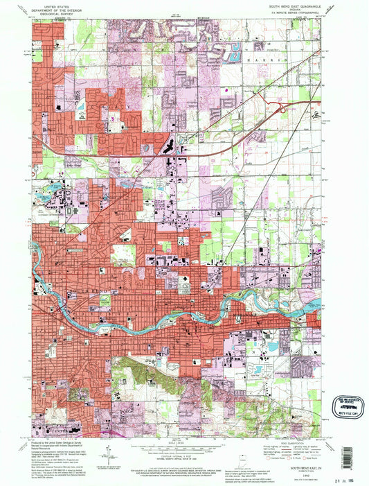
-
Classic USGS South Bend West Indiana 7.5'x7.5' Topo Map
Regular price $16.95Regular priceUnit price per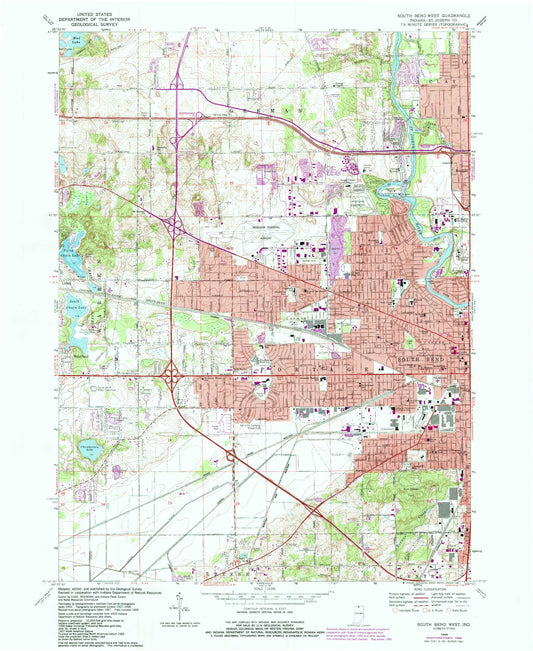
-
Classic USGS South Boston Indiana 7.5'x7.5' Topo Map
Regular price $16.95Regular priceUnit price per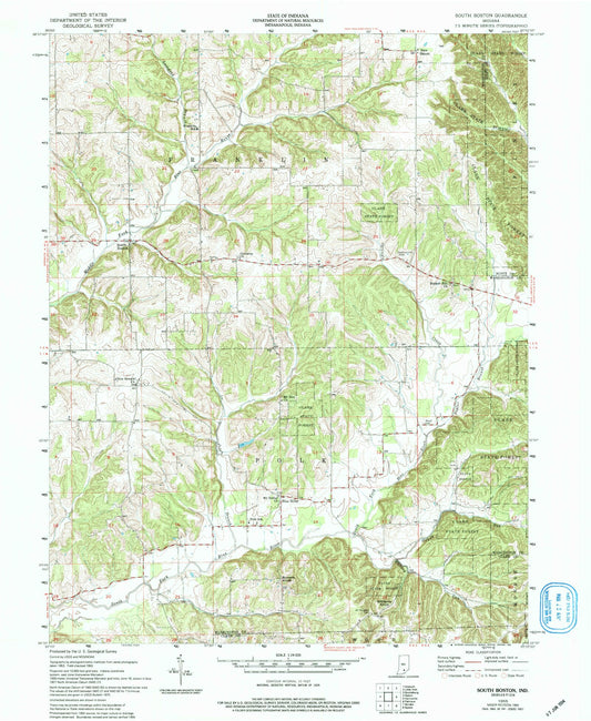
-
Classic USGS South Whitley East Indiana 7.5'x7.5' Topo Map
Regular price $16.95Regular priceUnit price per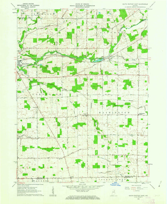
-
Classic USGS South Whitley West Indiana 7.5'x7.5' Topo Map
Regular price $16.95Regular priceUnit price per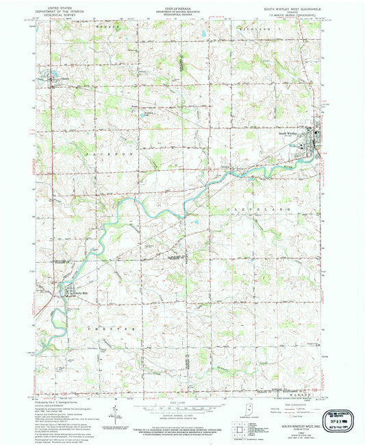


Custom Maps Available
Need something special?
Find your map's location and then customize a map (or photo) to your exact specifications.
USGS Map Legend
Want the "key" to understanding your topographic map?
Check out this handy publication from the USGS.